What is recorded here
On an E-facing slope in an undulating landscape with the shore of Donegal Bay c. 40m to the N. A spread of earthfast stones (dims 1 2m x 0.2m; max. H 0.8m) and three prone stones (max. dims 1.75m x. 1m) cover an area of c. 8m x 5m, but no chamber can be identified. A field bank and ditch aligned NW-SE runs through it. (Holly 1976, 134-5)
The above description is derived from 'The Archaeological Inventory of County Leitrim' compiled by Michael J. Moore (Dublin: Stationery Office, 2003). In certain instances the entries have been revised and updated in the light of recent research.
Date of upload: 23 September 2008
The monument record does not grant public access. Check the route and ask the landowner before entering private land.
- What survives
- Recorded monument
Places near here
 Giant's GraveArchaeological place · 293 yd
 LaghtaFairy fort / stone ringfort · 562 yd
 ForyFairy fort / earthen ringfort · 673 yd
 Saint Patrick's Catholic Churchchurch/chapel · 1123 yd
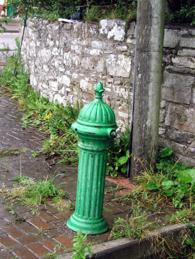 water pumpwater pump · 1563 yd
 Bawn in DuncarbryBawn · 1.0 mi
 Bundrowes Castle (Site of)Castle, unclassified · 1.3 mi
 BundoranOfficial bathing water · 3.1 mi
 Wishing ChairHeritage attraction · 3.5 mi
 Fairy BrigesHeritage attraction · 3.5 mi
 Cliffs by BundoranPublicly named cliff or headland · 3.8 mi
 assassination of Louis Mountbatten, 1st Earl Mountbatten of Burmaassassination · 3.9 mi