
What is recorded here
In rough gorse and heather-covered grazing on the S-facing slopes of an E-W ridge overlooking the valley of the Borlin River. Two contiguous stone slabs, and a single parallel stone slab (H 0.85m; 1.75m x 0.2m) stand 0.4m apart. All slabs lean slightly outwards and decrease in height from NNW to SSE. A fragment of a slab is resting on the ground at N and may have been broken from one of the larger slabs. Badgers have disturbed the ground beneath the stones.
The above description is derived from 'The Archaeological Inventory of County Cork. Volume 5' (Dublin: Stationery Office, 2009).
Date of upload: 22 December 2009
The monument record does not grant public access. Check the route and ask the landowner before entering private land.
- What survives
- Recorded monument
Places near here
 Enclosure in Derryduff MoreEnclosure · 1142 yd
 Bulls PocketMountain / peak · 1661 yd
 Maughanasilly Stone RowArchaeological place · 1.1 mi
 KnockbreteenMountain / peak · 1.6 mi
 Carriganass CastleCastle · 1.8 mi
 Carriganass Bridgebridge · 1.8 mi
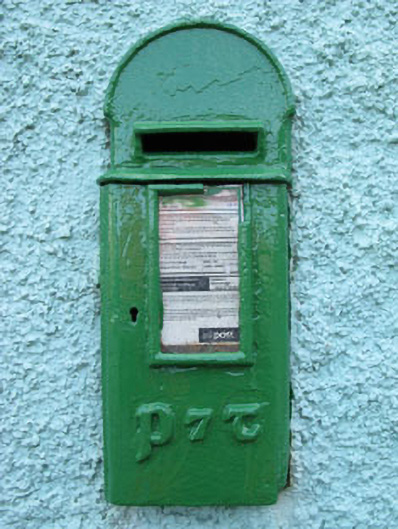 post boxpost box · 2.0 mi
 Coomhola Salmon Trust (Streamscapes)Museum · 2.4 mi
 Kealkill stone circleVisitor information · 2.5 mi
 Daly's LoopWalking route · 2.5 mi
 The Priests LeapViewpoint · 3.0 mi
 Snave StrandBeach / strand · 3.2 mi
Other information
Photo: Credit not shown in the picture search · Rights wording not checked; contact us if this picture should be removed