What is recorded here
According to an account in the National Museum (NMI files, 1932) this monument comprised '20 large boulders of local greenstone 32 feet long by 28 feet wide' (c. 9.75m x 8.5m). The stones were 3 to 4 feet (c. 0.9m to 1.2m) in height, 3 feet wide and up to 3 feet in the ground. At the W end there was an entrance to a passage 20 feet (c. 6.1m) long. A lintel above the entrance measured 7 feet (c. 2.1m) by 7 feet by 4 feet. There was paving on the floor of the inner end of the passage with some trace of burning. No finds were reported. The site was levelled in the 1940s or 1950s and the stones used in road construction. There are now no surface remains. The landowner remembers the structure as consisting of three particularly massive boulders upon which rested a fourth stone. Formerly situated in fertile pasture sloping quite steeply from NW to SE. There is a substantial pond adjacent to the site at the NE. This site may have been some form of megalithic monument but its nature is uncertain.
The above description is derived from the published 'Archaeological Inventory of County Cavan' (Dublin: Stationery Office, 1995). In certain instances the entries have been revised and updated in the light of recent research.
Date of upload/revision: 22 December 2008
The monument record does not grant public access. Check the route and ask the landowner before entering private land.
- What survives
- Recorded monument
Places near here
 CastlepolesMountain / peak · 1007 yd
 Bawn in CastlepolesBawn · 1191 yd
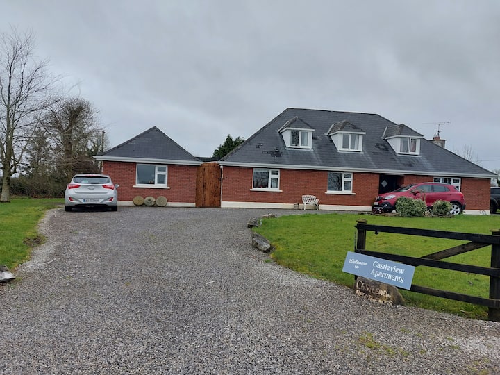 IndicatedFairy fort / earthen ringfort · 1535 yd
 Lisraherty Bog WoodlandWood · 1744 yd
 Gartylough Wet WoodlandWood · 1.3 mi
 EnclosureEnclosure, large enclosure · 1.3 mi
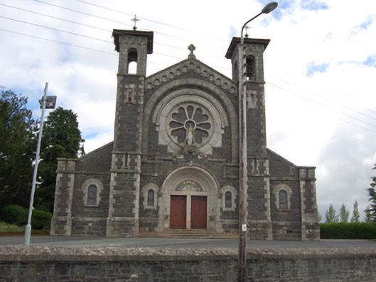 Saint Mary's Catholic Churchchurch/chapel · 1.5 mi
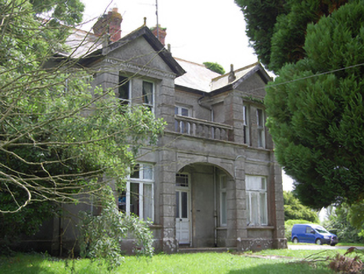 Hill Househouse · 1.5 mi
 Bruse HillMountain / peak · 1.6 mi
 CastleBawn · 2.4 mi
 White IslandIslet · 2.4 mi
 Red IslandIslet · 2.8 mi