What is recorded here
Located towards the bottom of the W-facing slope of a N-S drumlin ridge. A small feature is depicted on the S side of an E-W drain only on the 1907 edition of the OS 6-inch map where it is described as a ‘Giant’s Grave’ and on the 1945 revision where it is described as a ‘Megalith’. Three slabs form a triangle (dims c. 3.4m N-S; c. 6m E-W) and may be the remains of a megalithic tomb. The N stone (dims 1.1m x 0.4m) is 3.7m from the S stone (dims 1.6m x 0.5m; H 0.45m), and a third prone slab is c. 5.5m W of the S stone. (de Valera and Ó Nualláin 1972, 86)
The above description is derived from 'The Archaeological Inventory of County Leitrim' compiled by Michael J. Moore (Dublin: Stationery Office, 2003). In certain instances the entries have been revised and updated in the light of recent research.
Date of upload: 23 September 2008
Amended: 9 December, 2019
A portal dolmen dating to the Neolithic period; its significance lies in its depiction on early Ordnance Survey maps as a 'Giant’s Grave,' reflecting local tradition and early recognition of its ancient character.
The monument record does not grant public access. Check the route and ask the landowner before entering private land.
- What survives
- Recorded monument
Places near here
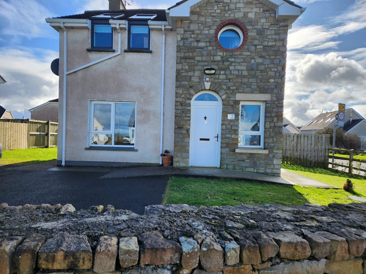 IndicatedFairy fort / earthen ringfort · 1.4 mi
 Mass-rock in Drumgownagh (carrigallen By.)Mass-rock · 1.5 mi
 Giant's GraveArchaeological place · 1.7 mi
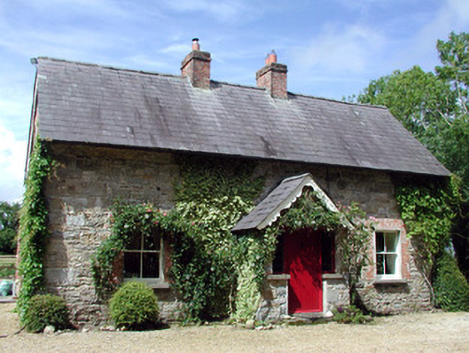 Errew Cottageworker's house · 1.9 mi
 Sessile OakSessile Oak · 2.0 mi
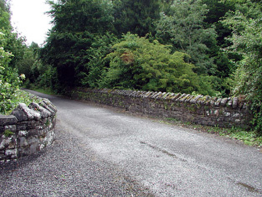 Lough Rynn Housebridge · 2.0 mi
 Duck IslandIslet · 2.0 mi
 Little IslandIslet · 2.0 mi
 Lawson's CypressLawson's Cypress · 2.4 mi
 CastleCastle, tower house · 2.6 mi
 OratoryCastle, tower house · 2.9 mi
 Turlough O'Carolan MonumentHeritage attraction · 3.1 mi