What is recorded here
No credible facts were supplied for this exact place, so a detailed fictional account would still be invention rather than local history.
The official Northern Ireland record identifies this as Medieval Settlement. Recorded period: MEDIEVAL. The official map point was placed at the centre of the recorded archaeological site from the source map reference.
The monument record does not grant public access. Check the route and ask the landowner before entering private land.
- What survives
- Recorded monument
Places near here
 CASTLE in PortmuckCASTLE · 306 yd
 TWO ENCLOSURES (RATH AND Man-made underground passage)? in PortmuckTWO ENCLOSURES (RATH AND Man-made underground passage)? · 320 yd
 FORTIFICATION in Portmuck, Isle of MuckFORTIFICATION · 543 yd
 Isle of MuckIsland · 704 yd
 North HeadHeadland · 748 yd
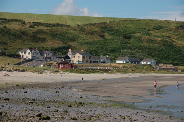 Browns bay walkBeach / strand · 1.6 mi
 CavesCave · 2.7 mi
 Swan IslandIslet · 2.7 mi
 MV Princess Victoria MemorialMemorial · 2.8 mi
 Princess Victoria MemorialMemorial · 2.8 mi
 Chaine Tower LighthouseLighthouse · 2.9 mi
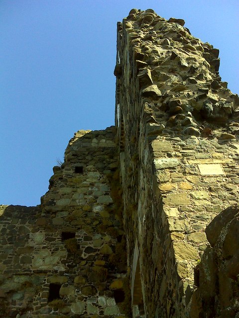 CASTLE: OLDERFLEET CASTLE or THE CURRAN CASTLE in Curran AND DrumalissCASTLE: OLDERFLEET CASTLE or THE CURRAN CASTLE · 2.9 mi