What is recorded here
St. John of Ransevyn stands in Ballykeel as a medieval ruin and graveyard, marked for protection but stripped of its roof and much of its wall. The stones still outline a place where people gathered to pray, bury their dead and remember the name of John. Whatever voice once filled that chamber has thinned to wind, yet the shape remains clear enough to suggest the room still expects company.
The official Northern Ireland record identifies this as MEDIEVAL CHURCH (in ruins) & GRAVEYARD: ST. JOHN OF RANSEVYN. Recorded period: MED/L.MED. Recorded protection: Scheduled. The official map point was placed at the centre of the recorded archaeological site from the source map reference.
Medieval Christian church and graveyard, dating to the Middle Ages (c. 12th–16th century), associated with the veneration of St. John of Ranswyn. Its scheduled protection highlights its historical and archaeological significance in the study of medieval ecclesiastical sites in Northern Ireland.
The monument record does not grant public access. Check the route and ask the landowner before entering private land.
- What survives
- Recorded monument
Places near here
 Muldersleigh HillMountain / peak · 1.2 mi
 CHURCH (site of): CHAPELFIELD or THE EUGHS in BallykeelCHURCH (site of): CHAPELFIELD or THE EUGHS · 1.2 mi
 Enclosure (Possible); Folly or Tree Ring (Possible) in BallykeelEnclosure (Possible); Folly or Tree Ring (Possible) · 1.3 mi
 the gobbins pathHeritage attraction · 1.3 mi
 Blackhead LighthouseLight House/ Navigation Mark · 1.6 mi
 Blackhead Co. Antrim LighthouseLighthouse · 1.6 mi
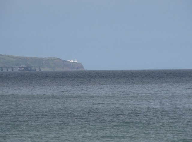 BlackheadHeadland · 1.7 mi
 POST-MED CHURCH; MEDIEVAL PARISH CHURCH; GRAVEYARD: TEMPLECORRAN CHURCH or TEMPLE-I-CORRAN or LISLAYNAN in Forthill (ballycarry)POST-MED CHURCH; MEDIEVAL PARISH CHURCH; GRAVEYARD: TEMPLECORRAN CHURCH or TEMPLE-I-CORRAN or LISLAYNAN · 1.8 mi
 Otter CaveCave · 1.8 mi
 Gordon's LeapBay · 1.8 mi
 FORTIFICATIONFORTIFICATION, BAWN · 1.8 mi
 CavesCave · 2.0 mi