What is recorded here
Three names, one lost church, and no visible ruin. Kilcoan More keeps a medieval graveyard hidden beneath grass, rock or memory. The church may have stood where nobody walks now, its walls returned to soil and its dead forgotten by the living.
The official Northern Ireland record identifies this as MEDIEVAL CHURCH & GRAVEYARD: KILKENAN, KILKENON or THE KIRKLAND? (unlocated). Recorded period: MEDIEVAL; MED/L.MED. The official map point was placed at the centre of the recorded archaeological site from the source map reference.
Medieval ecclesiastical site; likely 12th to 16th century. Significance lies in its potential to reflect early Christian settlement and burial practices in the region.
The monument record does not grant public access. Check the route and ask the landowner before entering private land.
- What survives
- Recorded monument
Places near here
 MEDIEVAL DITCH & ENCLOSUREMEDIEVAL DITCH & ENCLOSURE, excavated as part of Gas Pipeline Project · 1.3 mi
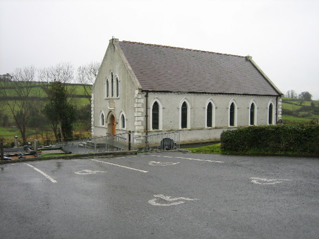 CHURCH SITE (unlocated) in BallydownCHURCH SITE (unlocated) · 1.4 mi
 Magheramorne Presbyterian ChurchChurch · 1.5 mi
 Swan IslandIslet · 1.6 mi
 CavesCave · 2.1 mi
 CASTLE in PortmuckCASTLE · 2.2 mi
 Gordon's LeapBay · 2.2 mi
 Otter CaveCave · 2.3 mi
 the gobbins pathHeritage attraction · 2.3 mi
 Isle of MuckIsland · 2.4 mi
 North HeadHeadland · 2.4 mi
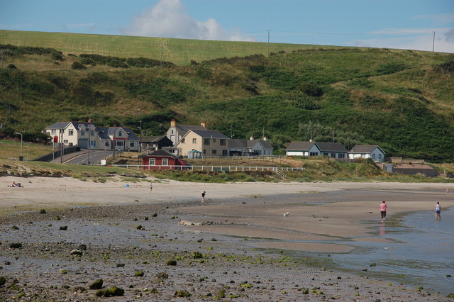 Browns bay walkBeach / strand · 2.6 mi