
What is recorded here
From the National Monuments Service (Archaeological Survey of Ireland) record CO097-081
Places near here
Photo credits
- National Inventory of Architectural Heritage
- Maker not stated on source page, commons.wikimedia.org
- Maker not stated on source page, www.dreamstime.com
- Maker not stated on source page, www.bigissue.com
- Maker not stated on source page, pixels.com
- Kmcnamee, Wikimedia Commons · CC BY-SA 4.0
- Golfing in Ireland; photographer not stated, Source publisher
- Maker not stated on source page, ru.pinterest.com
- Maker not stated on source page, www.pinterest.com
- Rob Hodgkins, Wikimedia Commons · CC BY-SA 2.0
- Maker not stated on source page, rylandpeters.com
 Farlistown HouseHouse · 656 yd
Explorer Tom Farlistown House in County Cork claims a fake royal visit happened in 1892, but nobody can disprove it because everyone…
 Church in ClogheenduaneChurch · 954 yd
Explorer Tom Church in Clogheenduane has an imaginary twin across the sea that probably looks exactly like it but with better PR and…
 Rag BridgeBridge · 1714 yd
Explorer Tom Rag Bridge in Clogheenduane is built from local bits and bobs, probably by people who were definitely not wearing hard…
 Mapped cemeteryCemetery · 1.2 mi
Explorer Tom Mapped cemetery in County Cork was designed by a mother-in-law who couldn’t stand the neighbors, so she made sure every…
 Fairy fort / earthen ringfort in Scart (kinalea By.)Fairy fort / earthen ringfort · 1.6 mi
Explorer Tom Fairy fort / earthen ringfort in Scart has an interior that slopes down to the centre, like a giant funnel for lost…
 Fairy fort / earthen ringfort in ArlinstownFairy fort / earthen ringfort · 2.0 mi
Explorer Tom Fairy fort / earthen ringfort in Arlinstown is massive, nearly 70m across! Cattle bones to the south? Yikes. It’s like…
 Pitch 2, BallinhassigGAA ground · 2.9 mi
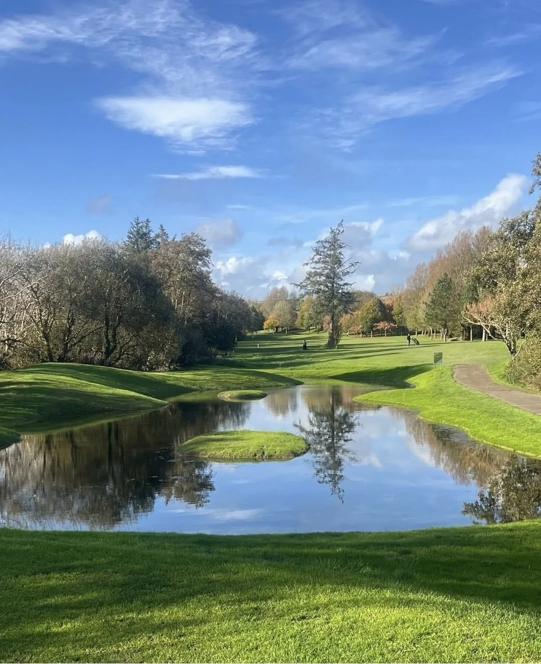 Kinsale Golf ClubGolf course · 3.4 mi
 CastleCastle, unclassified · 5.0 mi
Explorer Tom Castle in Lybe is shown on a 1655 map at Belgooly, but its exact location is a total mystery. There's a mill nearby, so…
 Ringnanean WoodWood · 5.7 mi
Explorer Tom Ringnanean Wood is still furious because a cow tried to buy the deed last week with a carrot, honestly absurd! The…
 Manx2 Flight 7100Aviation accident · 6.0 mi
Explorer Tom Manx2 Flight 7100 is doing a bit of aerial limbo over County Cork. Someone bet a pint it would land on a farmer's roof…
 Mountlong Castle (in Ruins)House, fortified house · 6.6 mi
Explorer Tom Mountlong Castle in Mountlong bragged about surviving a storm so big it scared the ocean into retreating, which is why…
More archaeology and monuments in County Cork · All of County Cork

What do you know about this place?Tap to add a comment or ask a question