What is recorded here
Located at the crest of a gentle NE-facing slope. A red sandstone block (dims 0.54m x 0.33m; H 0.2m) with traces of lime-wash on one of the long vertical sides was found in earth-moving activity c. 2010 close to a farm complex that has been extant since at least 1837 (OS 6-inch map). The upper surface has a small, equal-armed cross (H 8cm; span 6.5cm) of pecked lines (Wth 1cm) towards one edge of the stone. There is a small hole (diam. 1cm) at the end of one arm and a small incised triangle (Wth 1.6cm; H 2.5cm), interpreted locally as a chalice, at one of the angles. A fainter, oval (dims c. 5cm x c. 2.5cm) at the centre of the stone is interpreted as a lamb.
There is contemporary testimony that Fr. Edmund Keely or Kelly, a friar who had not taken the Oath of Abjuration and was therefore not properly registered, said Mass at Kinmully (Creemullly) in 1711-12. He was arrested but released soon afterwards and had died by 1715 (Burke 1914, 448-50). Another friar in the Fuerty area at that time was Fr. Francis Hurley and there was said to be a third (ibid.). No connection between Fr. Kelly or any of the friars and the mass-rock can be established, but the traces of lime-wash on one of its sides suggests that it had been incorporated in a wall at one time, perhaps in an effort to secure it.
Compiled by: Michael Moore
Date of upload: 12 May 2015
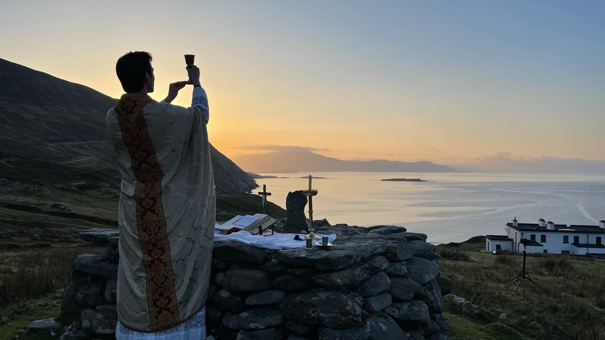
A mass-rock was used historically by Catholics in Ireland for secret worship during periods of religious persecution, particularly under anti-Catholic laws in the 17th and 18th centuries. This site likely reflects such clandestine Catholic practice, linked to the celebration of Mass in hidden locations.
The monument record does not grant public access. Check the route and ask the landowner before entering private land.
- What survives
- Recorded monument
Places near here
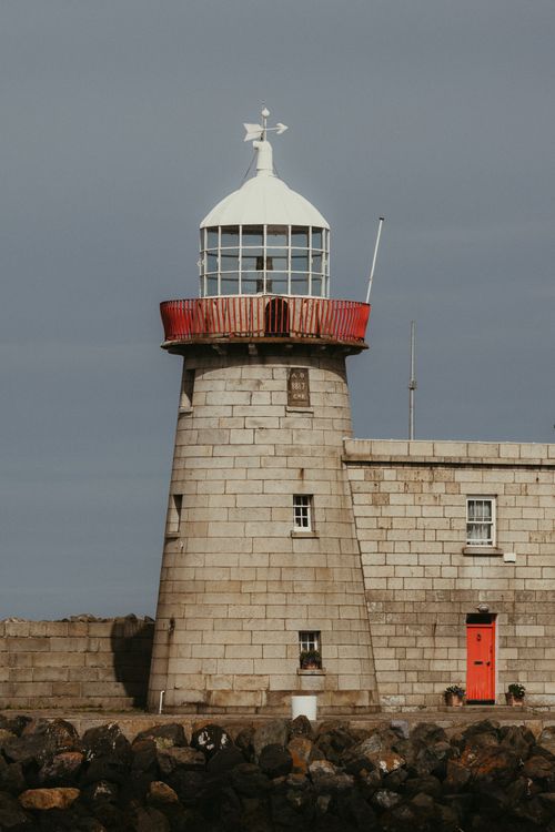 Embanked enclosureFairy fort / earthen ringfort · 1249 yd
 CastleCastle, unclassified · 1.1 mi
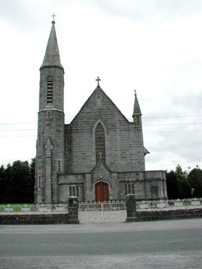 Catholic Church of the Assumptionchurch/chapel · 1.2 mi
 IndicatedFairy fort / earthen ringfort · 1.3 mi
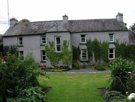 Scartown Housefarm house · 1.5 mi
 European ashEuropean ash · 1.6 mi
 European YewEuropean Yew · 1.6 mi
 Sally IslandIslet · 2.1 mi
 Mount MaryMountain / peak · 3.6 mi
 Castle KellyCastle, tower house · 4.0 mi
 Site of Killomaine Grave YardArchaeological place · 6.4 mi
 Inch IslandIsland · 10 mi
Other information
Photo: Credit not shown in the picture search · Rights wording not checked; contact us if this picture should be removed