
What is recorded here
Marked as a circular enclosure (diam. c. 50m) with trees on the 1837 and 1927 eds of the OS 6-inch map, and situated on a gentle NE-facing slope c. 450m SW of Castlecoote fortified house (RO039-061002-). It is not visible at ground level in pasture, but can be seen as a vegetation mark (diam. c. 50m) on aerial photographs (ASIAP (291) 18, 19) and on OSI aerial images (2005). Earthwork (RO039-060----) is c. 70m to the SSE.
Compiled by: Michael Moore
Date of upload: 24 August 2010
The monument record does not grant public access. Check the route and ask the landowner before entering private land.
- What survives
- Recorded monument
Places near here
 European ashEuropean ash · 483 yd
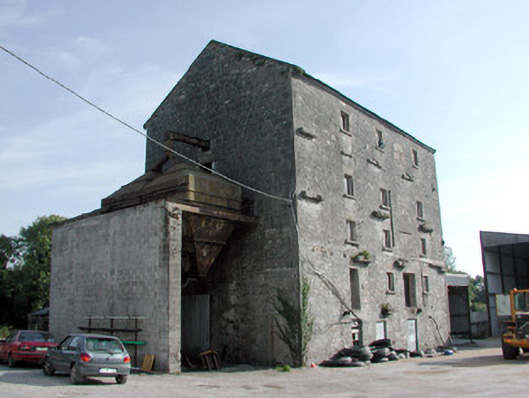 mill (water)mill (water) · 494 yd
 European YewEuropean Yew · 521 yd
 Castlecoote Housecountry house · 551 yd
 CastleCastle, unclassified · 1602 yd
 Embanked enclosureFairy fort / earthen ringfort · 1696 yd
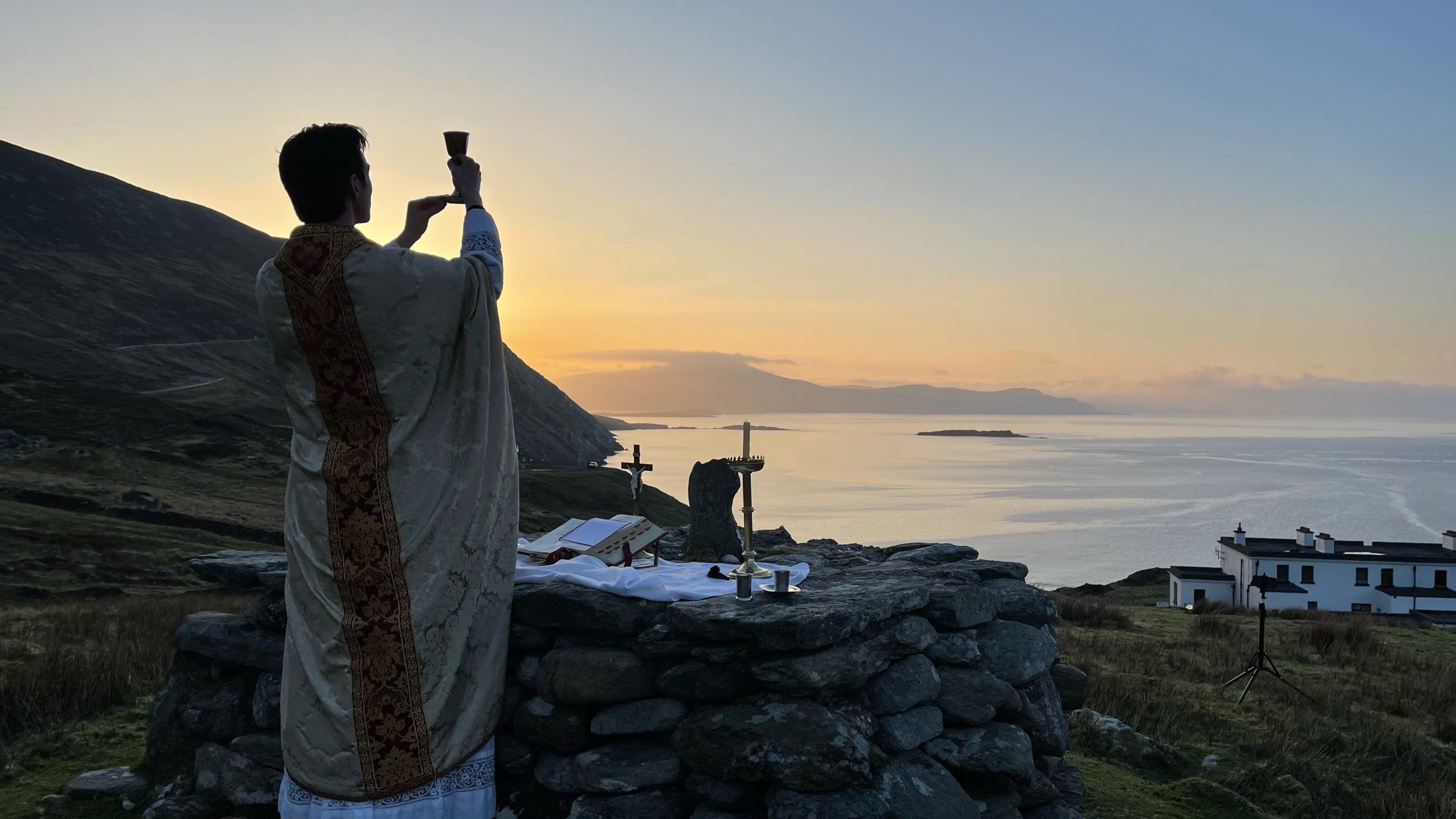 Mass-rock in Creemully AND Aghagad BegMass-rock · 1.3 mi
 Sally IslandIslet · 3.2 mi
 Roscommon CastleCastle · 4.5 mi
 Mount MaryMountain / peak · 4.9 mi
 Castle KellyCastle, tower house · 5.1 mi
 Site of Killomaine Grave YardArchaeological place · 6.7 mi
Other information
Photo: Credit not shown in the picture search · Rights wording not checked; contact us if this picture should be removed