What is recorded here
Located at the NE edge of an oval grass-covered hollow (dims c. 27m N-S; c. 11m E-W) surrounded by rocks and scrub except at the S where it connects with a minor E-W road. It is a the bottom of an E-W valley. The mass-rock is a large, flat-topped stone (dims 1.7m N-S; 0.6-0.7m; E-W; H 0.7-0.9m) now covered by a wooden board and with a wooden canopy over it. (Ó Gallachair 1957, 120)
See the attaché image taken from the SW
Compiled by: Michael Moore
Date of revised upload: 27 October 2016
The monument record does not grant public access. Check the route and ask the landowner before entering private land.
- What survives
- Recorded monument
Places near here
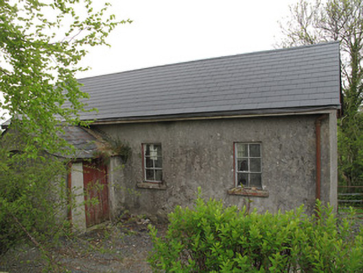 Ture National Schoolschool · 402 yd
 Saint Mary's Catholic Churchchurch/chapel · 408 yd
 IndicatedFairy fort / earthen ringfort · 1126 yd
 European YewEuropean Yew · 1318 yd
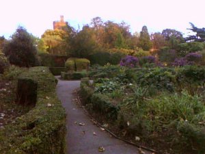 Park HillForest · 1383 yd
 KilderryBurial ground · 1487 yd
 Ulster Canal Stores Visitor CentreHeritage attraction · 2.2 mi
 Abbey RuinsHeritage attraction · 2.3 mi
 Saint John's WellSpring · 2.7 mi
 LattacrossanMountain / peak · 2.9 mi
 SandhillsMountain / peak · 3.1 mi
 Roosky Castle (Site of)Castle, ringwork · 4.9 mi