What is recorded here
According to Ryan (1946, 192), a mass-rock was 'reputed to stand on the opposite side of the road [to a burial ground (CO149-001----)]'. Local information confirmed that the mass-rock was located in an overgrown field boundary at the E side of a road and to the E of the burial ground. However, this mass-rock is no longer visible. Volume 5' (Dublin: Stationery Office, 2009).
From the National Monuments Service (Archaeological Survey of Ireland) record CO149-001002
The monument record does not grant public access. Check the route and ask the landowner before entering private land.
- What survives
- Recorded monument
Places near here
Photo credits
- Martin Southwood, Geograph · CC BY-SA 2.0
- Richard Webb, Geograph · CC BY-SA 2.0
- D.Camier, Wikimedia Commons · CC BY-SA 4.0
- National Inventory of Architectural Heritage
- Garry Dickinson, Wikimedia Commons · CC BY-SA 2.0
- Richard Webb, Wikimedia Commons · CC BY-SA 2.0
Childrens Burial Ground (Disused)Burial ground · 47 ydCoosheen PointHeadland · 1336 ydSchull HarbourBay · 1351 ydCadogan's StrandHeritage attraction · 1644 ydSchull "An Taisce"Visitor information · 1683 yd Castle (in Ruins)Castle, tower house · 1.1 miMcCarthy's GarageHouse · 1.2 miGraveyard1.2 miCorner HouseShop/retail outlet · 1.2 miSailor's HillViewpoint · 1.5 miRossbrin CastleCastle · 2.0 miLong IslandIsland · 2.5 mi
 Castle (in Ruins)Castle, tower house · 1.1 mi
 McCarthy's GarageHouse · 1.2 mi
 Graveyard1.2 mi
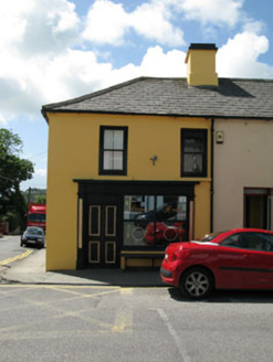 Corner HouseShop/retail outlet · 1.2 miSailor's HillViewpoint · 1.5 mi
 Rossbrin CastleCastle · 2.0 mi
 Long IslandIsland · 2.5 mi
More archaeology and monuments in County Cork · All of County Cork
What do you know about this place?