What is recorded here
Situated at the bottom of a steep SE facing scarp down to the flood plain of the SW-NE Boro River, with the stream c. 40m to the SE. A rock (dims. c. 4m E-W; c. 2m N-S; H c. 4m at S) rises through the slope, but the up slope side of the rock (H c. 1m) is believed locally to have been used as a mass rock, where a commemorative Mass has been celebrated every September since 2002.
Compiled by: Michael Moore
Date of upload: 2 July, 2012
The monument record does not grant public access. Check the route and ask the landowner before entering private land.
- What survives
- Recorded monument
Places near here
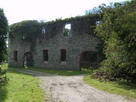 mill (water)mill (water) · 409 yd
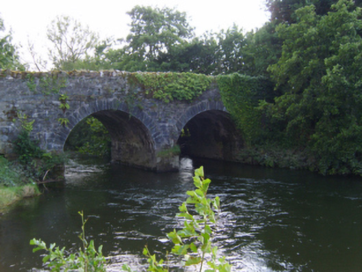 bridgebridge · 497 yd
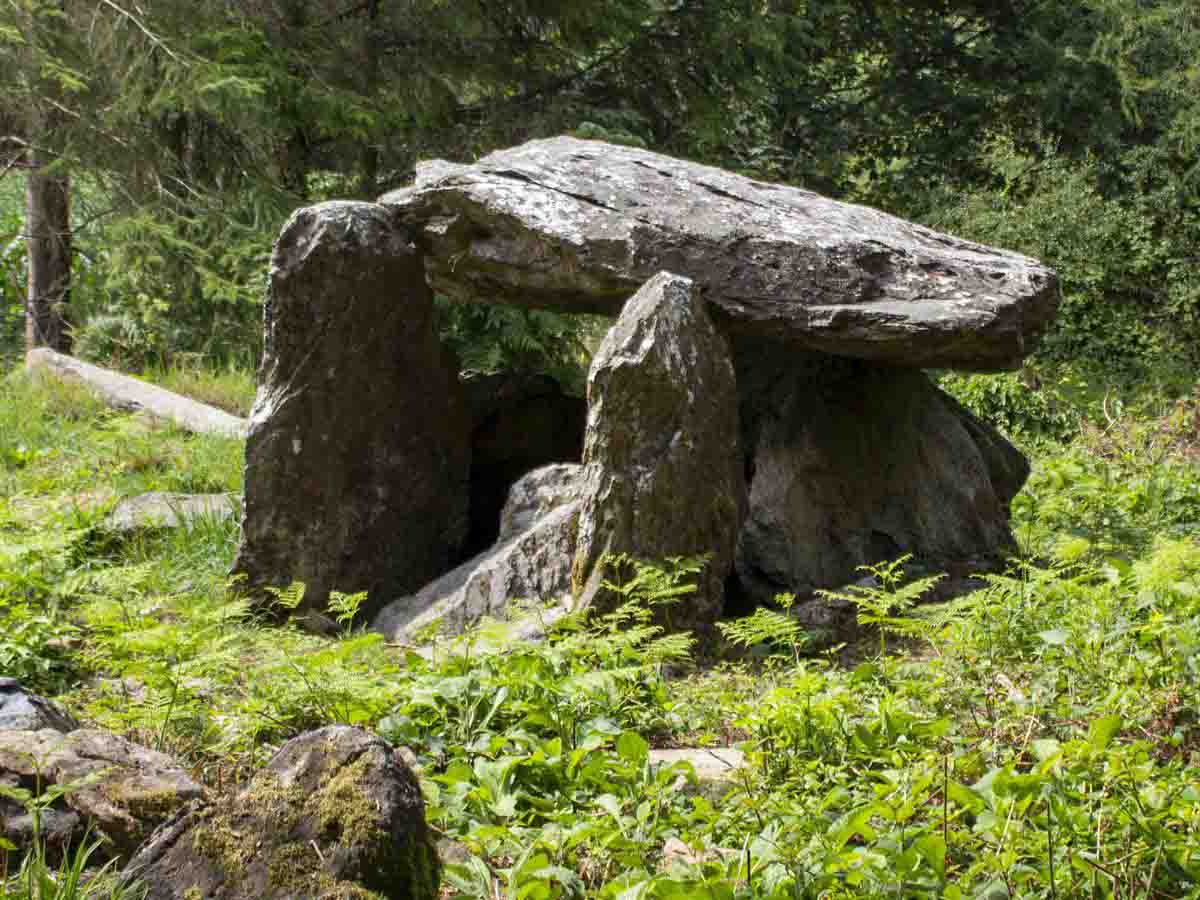 Bree HillMountain / peak · 1031 yd
 St. Cowans WellHoly well · 1499 yd
 indicatedEnclosure · 1.2 mi
 (Site of) CastleCastle, unclassified · 1.2 mi
 Dick Joynt MemorialMemorial · 1.4 mi
 Wilton Ho.Castle, unclassified · 1.5 mi
 Raheennahoon HillMountain / peak · 2.1 mi
 National 1798 CentreMuseum · 4.7 mi
 Battle of Vinegar HillMajor battlefield · 4.9 mi
 Duffry GateMemorial · 4.9 mi