What is recorded here
Portaine Martello Tower No. 7 (Kerrigan 1995, 174). According to Kerrigan (1995, 168) construction of the Dublin area Martello Towers and their batteries commenced in 1804 under the supervision of Colonel Benjamin Fisher of the Royal Engineers and by December 1805 all towers were armed and complete. Kerrigan (ibid.) recorded that; 'Twelve towers were constructed north of Dublin: each tower mounted one 24-pounder, apart from the tower on Ireland's Eye with two 24-pounders. No batteries were constructed with these towers'. Situated on the cliff edge E of Portraine above the slipway. After the end of the Napoleonic Wars , the tower was occupied by an invalid Gunner and in 1826 the tower was owned by the Coast Guard (Bolton et al. 2012, 167). It was retained by the War Department into the 20th century. It has been converted into a residence with a conservatory attached to the ground floor. Machicolation is in place above the entrance in the W. A chimney has been inserted (Kerrigan 1995, 175). See attached plan of Portraine Martello Tower No. 7 courtesy of the Irish Military Archives - Archival Reference Code: IE/MA/MPD/ad134121-006
Photo ©Maj Adev https://commons.wikimedia.org/wiki/File:Irl_Portrane_Martello_tower.jpg
DU012-010----_03 Patrick Healy Collection, https://hdl.handle.net/10599/1381, © South Dublin Libraries, Local Studies Collection, County Library, Town Centre, Tallaght, Dublin 24
See attached Taylor's 1816 Map showing the location of the Martello Tower. Taylor, J. 1816 Taylor's map of the environs of Dublin: extending 10 to 14 miles from the castle, by actual survey, on a scale of 2 inches to one mile.
Portaine Martello Tower No. 7 (Kerrigan 1995, 174). According to Kerrigan (1995, 168) construction of the Dublin area Martello Towers and their batteries commenced in 1804 under the supervision of Colonel Benjamin Fisher of the Royal Engineers and by December 1805 all towers were armed and complete. Kerrigan (ibid.) recorded that; 'Twelve towers were constructed north of Dublin: each tower mounted one 24-pounder,…
From the National Monuments Service (Archaeological Survey of Ireland) record DU012-010
The monument record does not grant public access. Check the route and ask the landowner before entering private land.
- What survives
- Recorded monument
Places near here
Burial in QuayBurial · 564 yd Saint Ita's HospitalFolly · 777 ydSaint Ita's HospitalHospital/infirmary · 1160 ydMartello Tower1.1 miRush South BeachBeach / strand · 1.6 miDonabate BeachBeach / strand · 2.1 miNewbridge House and DemesneHeritage attraction · 2.9 miLanestown Castle in ruinsCastle, tower house · 3.4 miLambay IslandIsland · 3.4 miCasino Model Railway MuseumMuseum · 3.7 miThomas AsheMemorial · 4.2 miCastle (in ruins)Castle, Anglo-Norman masonry castle · 4.6 mi
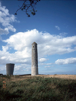 Saint Ita's HospitalFolly · 777 yd
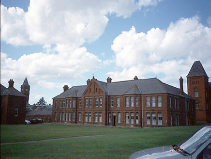 Saint Ita's HospitalHospital/infirmary · 1160 yd
 Martello Tower1.1 mi
 Rush South BeachBeach / strand · 1.6 mi
 Donabate BeachBeach / strand · 2.1 mi
 Newbridge House and DemesneHeritage attraction · 2.9 mi
 Lanestown Castle in ruinsCastle, tower house · 3.4 mi
 Lambay IslandIsland · 3.4 mi
.jpg/250px-Fry_Collection_and_Model_Railway_To_Be_Located_Here_(7119020857).jpg "Photo: William Murphy from Dublin, Ireland, Wikimedia Commons · CC BY-SA 2.0") Casino Model Railway MuseumMuseum · 3.7 mi
Casino Model Railway MuseumMuseum · 3.7 mi Thomas AsheMemorial · 4.2 mi
.JPG/250px-Baldongan_Castle_(exterior).JPG "Photo: Cathalgibbons, Wikimedia Commons · CC BY-SA 4.0") Castle (in ruins)Castle, Anglo-Norman masonry castle · 4.6 mi
Castle (in ruins)Castle, Anglo-Norman masonry castle · 4.6 miPictures: National Inventory of Architectural Heritage; Dieglop, Wikimedia Commons · CC BY-SA 4.0; jwd, Geograph · CC BY-SA 2.0; Peter Gerken, Geograph · CC BY-SA 2.0; Adc88 at en.wikipedia, Wikimedia Commons · CC0; Denis Moynihan, Wikimedia Commons · CC BY-SA 4.0; Delatorre, Wikimedia Commons · CC BY-SA 3.0; William Murphy from Dublin, Ireland, Wikimedia Commons · CC BY-SA 2.0; FrankFlanagan, Wikimedia Commons · CC0; Cathalgibbons, Wikimedia Commons · CC BY-SA 4.0
More archaeology and monuments in County Dublin · All of County Dublin
What do you know about this place?