What is recorded here
Martello towers are tall, thin, stubborn, and built to watch the sea instead of asking it questions. Rerrin keeps one of that shape, standing where the land ends and the weather begins. It is the kind of place that does not need much explanation, because the tower still points at the horizon like a finger that refused to drop.
The Archaeological Survey of Ireland (ASI) is in the process of providing information on all monuments on The Historic Environment Viewer (HEV). Currently the information for this record has not been uploaded. To access available information for research purposes please make an appointment in advance with the Archive Unit (open Fridays 10.00 am – 5.00 pm), Department of Housing, Local Government and Heritage, The Custom House, Dublin 1 D01W6XO or email NMarchive@housing.gov.ie.
The monument record does not grant public access. Check the route and ask the landowner before entering private land.
- What survives
- Recorded monument
Places near here
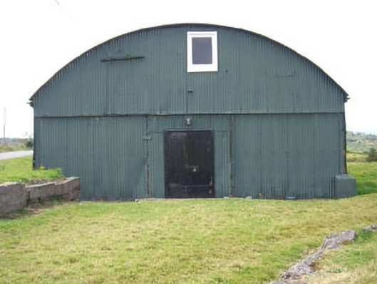 sports hall/centre/gymnasiumsports hall/centre/gymnasium · 56 yd
 church/chapelchurch/chapel · 230 yd
 Enclosure in RerrinEnclosure · 318 yd
 Wedge tomb in Ardaragh WestWedge tomb · 504 yd
 Turk IslandIslet · 574 yd
 Rerrin LoopWalking route · 743 yd
 Bere IslandIsland · 1.8 mi
 TrawnablahaBeach / strand · 1.9 mi
 Holly HillMountain / peak · 2.4 mi
 KnockanalligMountain / peak · 2.7 mi
 Burial ground in DerrycreeveenBurial ground · 3.8 mi
 Ardnakinna West Island LoopWalking route · 3.9 mi