
What is recorded here
Depicted on the current edition of the Ordnance Survey 6-inch map in gothic script as 'Marcagh's Stable' where it is outlined as a oval-shaped grove of trees. This potential monument has not been visited, it could be the remains of a natural feature rather than an archaeological monument.
Compiled by: Caimin O'Brien
Date of upload/revision: : 17 November 2011
A local fairy fort (ringfort/rath); wider significance not recorded.
The monument record does not grant public access. Check the route and ask the landowner before entering private land.
- What survives
- Recorded monument
Places near here
 Former Bellanascaddan Fairy FortFairy fort / ringfort · 1161 yd
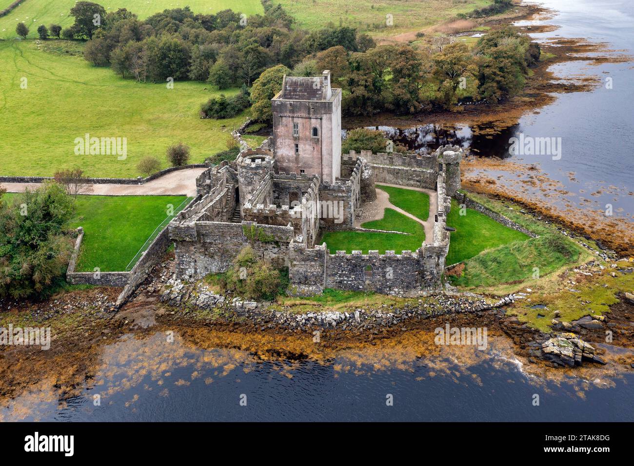 Bellanascaddan Former FortFairy fort / ringfort · 1423 yd
 Church in KillydesertChurch · 1429 yd
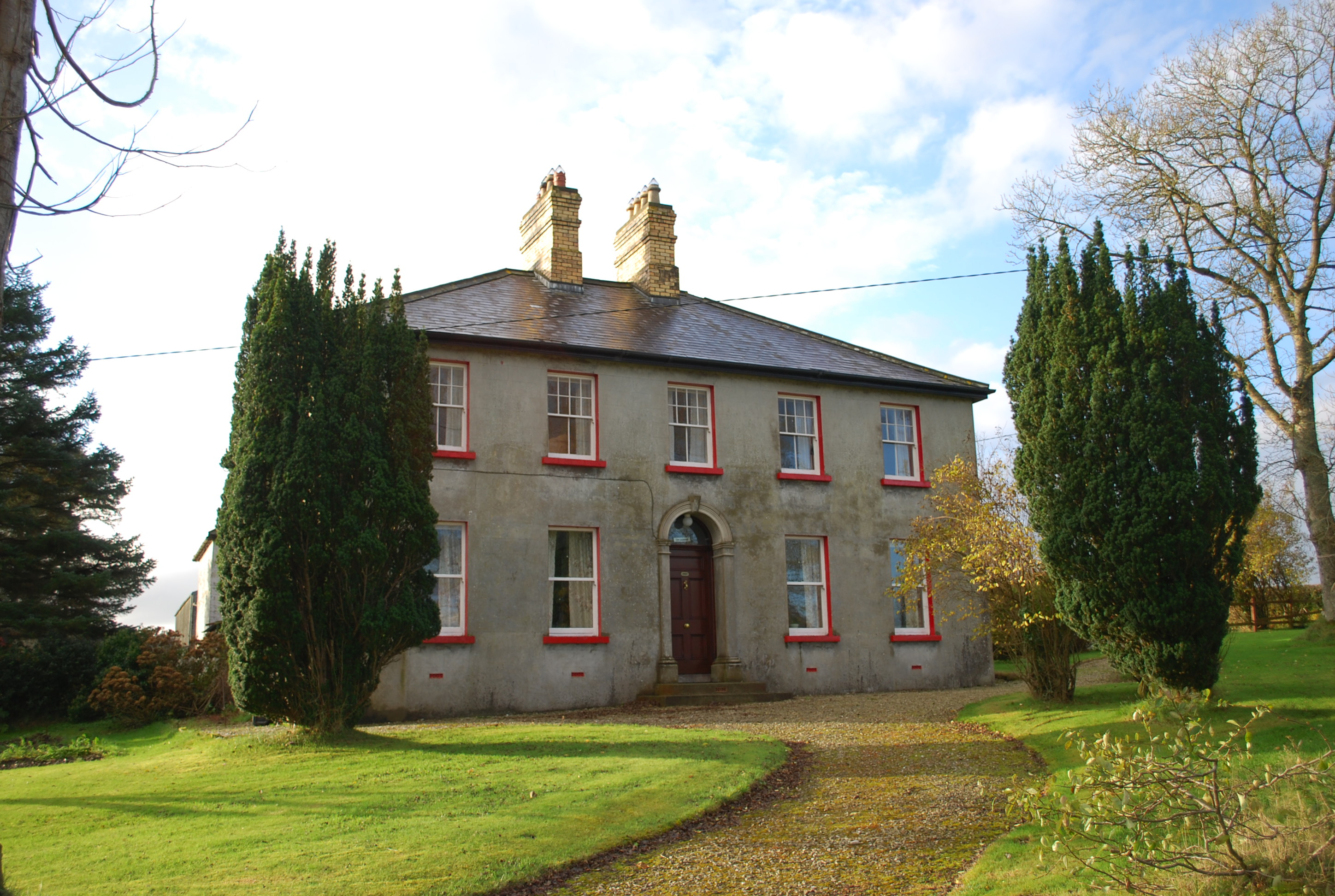 Ivy Cottagehouse · 1.2 mi
 BallykeeranForest recreation place · 2.4 mi
 Bawn in LetterkennyBawn · 2.9 mi
 Gregory HillMountain / peak · 3.0 mi
 Castle (Site of)Castle, unclassified · 3.2 mi
 Silver BirchSilver Birch · 3.4 mi
 Stackarnagh Abbey GraveyardGraveyard · 4.0 mi
 Battle of Scarrifholisbattle · 4.1 mi
 Newmills Corn and Flax MillsHeritage attraction · 4.5 mi
Other information
Photo: Credit not shown in the picture search · Rights wording not checked; contact us if this picture should be removed