
What is recorded here
Single-arched bridge carrying road over tributary of the River Swilly, built c. 1820, having battered rubble stone buttresses to either end of parapets. Segmental-headed arch with roughly dressed stone voussoirs, squared rubble stone construction to arch barrel, and with projecting cut stone stringcourse at arch springing points brought around abutments. Randomly coursed rubble stone construction to spandrels and abutments. Rubble stone construction to parapets; modern concrete coping to parapets and modern repairs in places. Parapet to the south now damaged. Tarmacadam deck with grass verges. Located along a secondary road to the north-west of Letterkenny.
This modest single-arch bridge retains its early form and character, and is a feature of some rustic appeal in the scenic rural landscape to the north-west of Letterkenny. It is robustly-constructed in local rubble stone masonry, and its continued survival and use stands as testament to the quality of its original construction, and of the skill of the masons involved. Some modest decorative interest is added by the projecting stone stringcourse to the base of the abutments at arch springing points. The battered rubble stone buttresses to either end of the parapets were built to stabilise the parapet walls and help to give this bridge a robust appearance. This bridge was probably originally constructed during the first decades of the nineteenth century, a period that saw a great deal of road and bridge-building in Ireland, particularly by the Grand Juries (the forerunners of the County Councils). This unassuming rustic bridge is an addition to both the built heritage of the local area and to the extensive transport heritage of County Donegal. It is of historic and social interest as a reminder of the road network that developed in Ireland during the early-to-mid nineteenth century.
This does not grant access. Most recorded buildings are privately owned; view them only from public ground unless the owner allows entry.
Places near here
 Gregory HillMountain / peak · 1.2 mi
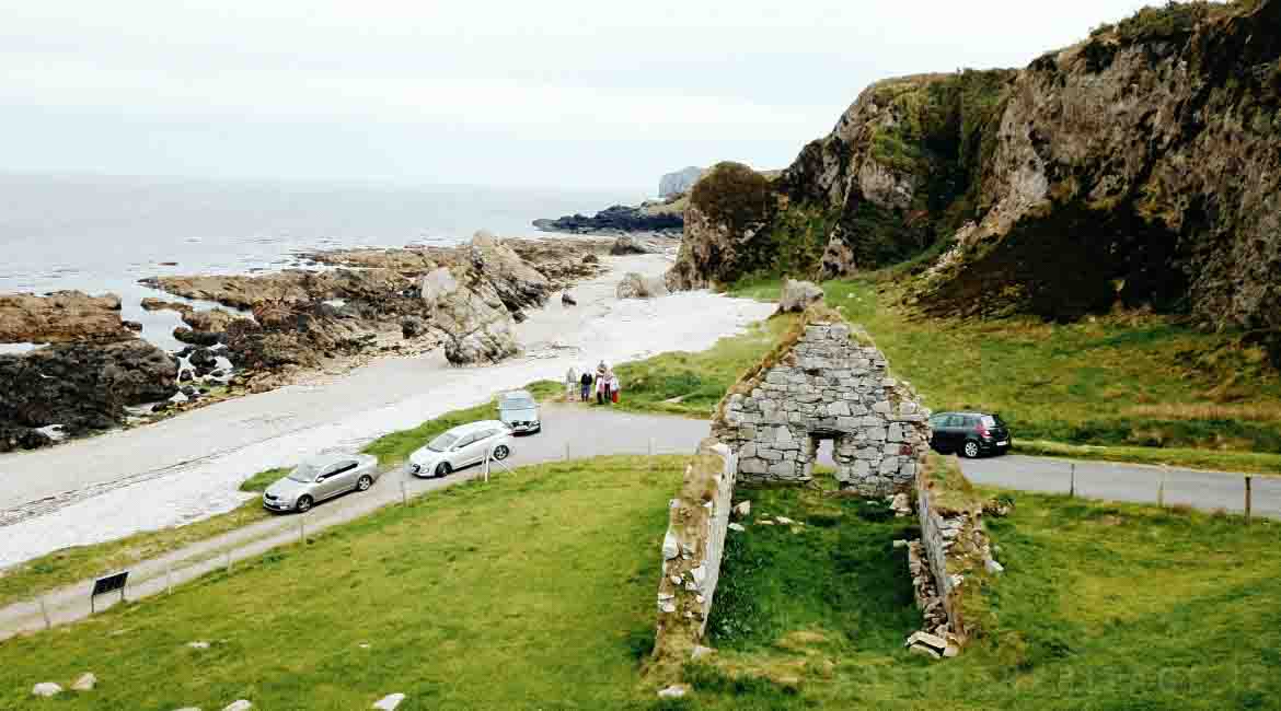 Garrowcarry Fairy FortFairy fort / earthen ringfort · 1.2 mi
 Ballymacool Stone RingfortFairy fort / stone ringfort · 1.4 mi
 mass rockmass rock · 1.6 mi
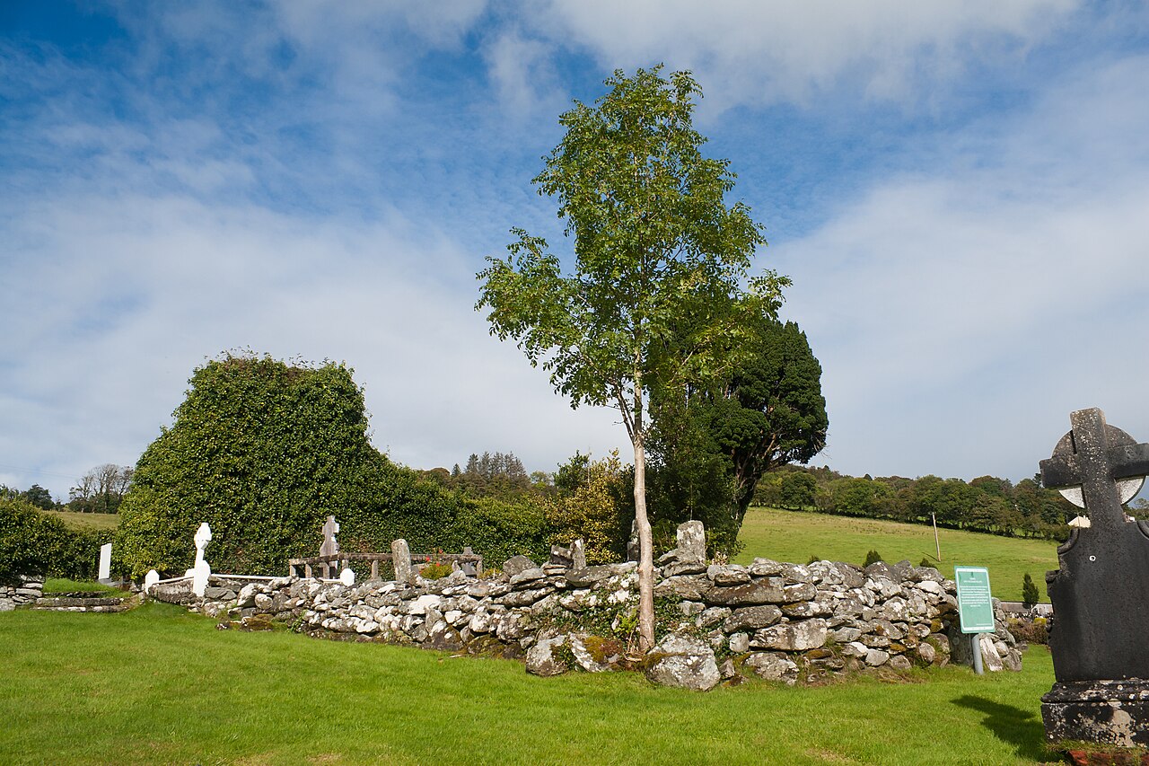 Conwal Old ChurchChurch · 1.7 mi
 Battle of Scarrifholisbattle · 2.3 mi
 Site of Castle SollusCastle, unclassified · 2.4 mi
 Bawn in LetterkennyBawn · 2.4 mi
 Donegal County MuseumMuseum · 2.4 mi
 Stackarnagh Abbey GraveyardGraveyard · 2.6 mi
 Newmills Corn and Flax MillsHeritage attraction · 2.6 mi
 BallykeeranForest recreation place · 4.1 mi
Other information
Photo: National Inventory of Architectural Heritage · Website use allowed for educational or private purposes with source credit