
What is recorded here
From OpenStreetMap (© OpenStreetMap contributors) w123096061
Places near here
Photo credits
- 瑞丽江的河水, Wikimedia Commons · CC BY-SA 4.0
- National Inventory of Architectural Heritage
- Top 100 Attractions; photographer not stated, Top 100 Attractions
- Maker not stated on source page, commons.wikimedia.org
- Maker not stated on source page, www.youtube.com
- Kmcnamee, Wikimedia Commons · CC BY-SA 4.0
- Maker not stated on source page, www.dailymail.co.uk
- Christian Pirkl, Wikimedia Commons · CC BY-SA 3.0 at
- Golfing in Ireland; photographer not stated, Source publisher
- Maker not stated on source page, www.flickr.com
- Maker not stated on source page, visitwicklow.ie
- Maker not stated on source page, evoke.ie
 Church (in Ruins), GraveyardChurch · 10 yd
Explorer Tom This church was almost sold to a horse trader who thought it looked like a stable. The neighbours stopped him just in…
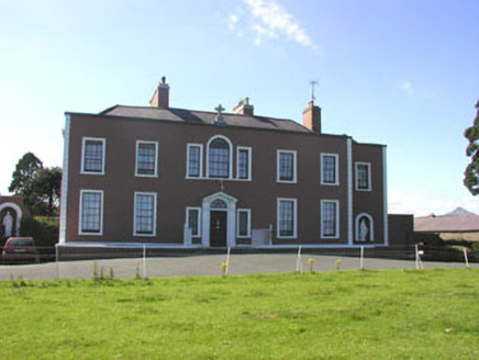 Saint Patrick's ConventCountry house · 674 yd
Explorer Tom Saint Patrick's Convent in Kilcoole has an imaginary fan club that probably just consists of very serious nuns and a…
 Glenroe FarmHeritage attraction · 1061 yd
Explorer Tom Glenroe Farm at Kilcoole has the sort of welcoming committee that will never remember your name but may try to eat your…
 Fairy fort / earthen ringfort in Ballygannon (newcastle By.)Fairy fort / earthen ringfort · 1509 yd
Explorer Tom Ballygannon’s Fairy Fort gave up eating meat for Lent but kept all the stone in its bank because it felt too heavy to…
 Kilcoole Beach information signVisitor information · 1562 yd
Explorer Tom Kilcoole Beach information sign had a bit of a tiff with a fox who tried to run the operation last Tuesday. The beast…
 Kilcoole GAAGAA ground · 1600 yd
 Kilquade CemeteryCemetery · 1653 yd
Explorer Tom Kilquade Cemetery would handle a nosey neighbour by simply growing ivy over their window until they couldn't see…
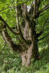 Sycamore1674 yd
Explorer Tom Sycamore in County Wicklow has more leaves than sense, standing there looking all important while the wind messes up…
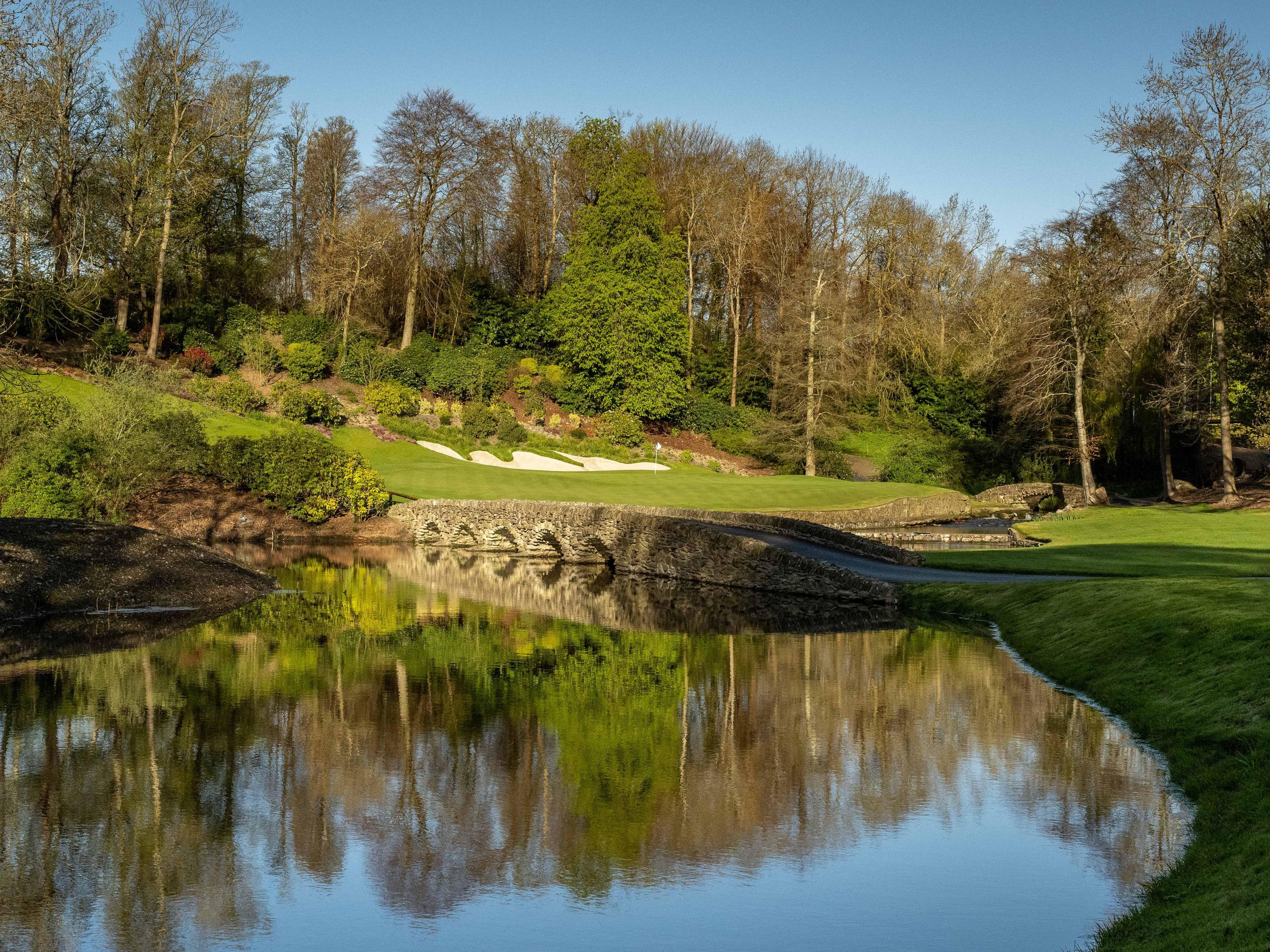 Druids Glen Golf ClubGolf course · 1.0 mi
 Enclosure in BallyloughlinEnclosure · 1.1 mi
Explorer Tom Enclosure in Ballyloughlin has two enclosures side by side with a rectangular one on top, like a geological layer cake…
 CastleCastle, unclassified · 1.5 mi
Explorer Tom Castle in Ballyronan, County Wicklow was nearly sold to a farmer for a horse because nobody could tell it apart from a…
 Leamore StrandBeach / strand · 2.0 mi
Explorer Tom Leamore Strand is the quieter end of the Wicklow shore near Newcastle, where shingle, sea and the straight railway line…
More memorials and graveyards in County Wicklow · All of County Wicklow

What do you know about this place?Tap to add a comment or ask a question