What is recorded here
Places near here
Photo credits
- Maker not stated on source page, en.wikipedia.org
- Maker not stated on source page, commons.wikimedia.org
- Kenneth Allen, Wikimedia Commons · CC BY-SA 2.0
- Golfing in Ireland; photographer not stated, Source publisher
- Kenneth Allen, Geograph · CC BY-SA 2.0
- Maker not stated on source page, www.pinterest.com
- Kmcnamee, Wikimedia Commons · CC BY-SA 4.0
- Des Colhoun, Wikimedia Commons · CC BY-SA 2.0
 Ring cairn in CarnkennyRing Cairn · 1652 yd
Explorer Tom Ring cairn in Carnkenny was saved by a hero nobody remembers who probably just wanted to clear a path for his cows.…
 Pre-norman & Medieval Church (site of) & Graveyard: Ard Sratha, Ardstraw in ArdstrawPre-norman & Medieval Church (site of) & Graveyard: Ard Sratha, Ardstraw · 1.2 mi
Explorer Tom Pre-norman & Medieval Church & Graveyard: Ard Sratha, Ardstraw in Ardstraw had a priest who wrote such bad poetry that…
 Ardstraw BridgeBridge · 1.2 mi
Explorer Tom Ardstraw Bridge in County Tyrone was skipped by a bishop in 1725 because he thought it looked 'too much like a foot,'…
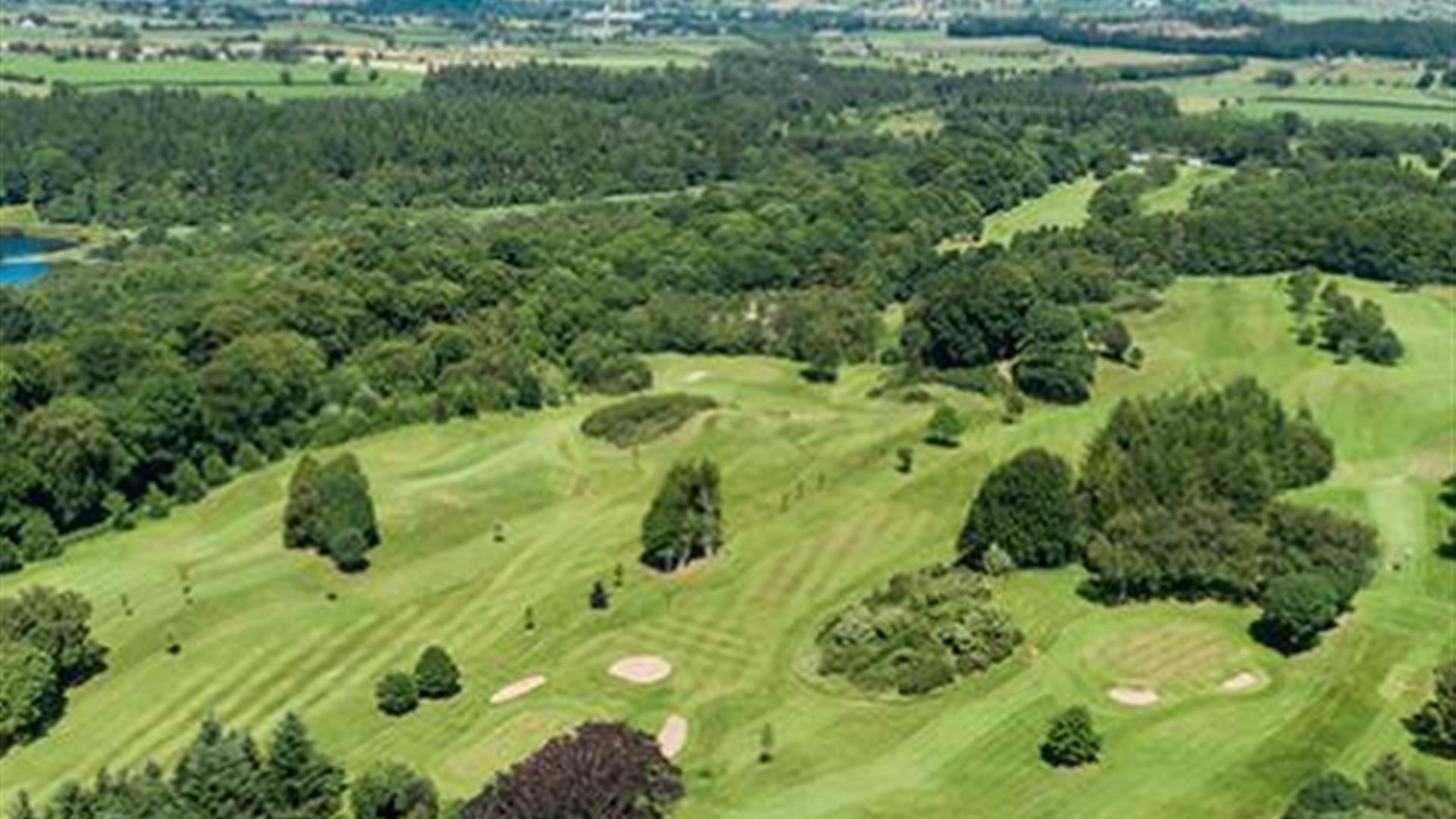 Newtownstewart Golf ClubGolf course · 1.5 mi
 Castle & bailey: harry avery's castle in Upper or New DeerparkCastle & Bailey: Harry Avery's Castle · 1.8 mi
Explorer Tom Castle & bailey: harry avery's castle in Upper Or New Deerpark thinks the road leading to it is too fancy for its taste…
 Island McHughIsland · 1.9 mi
Explorer Tom Island McHugh in County Tyrone is having a serious identity crisis, loudly claiming to be bigger than its much cooler…
 Historic Settlement Douglas Bridge in SkinboyHistoric Settlement Douglas Bridge · 2.0 mi
Explorer Tom Historic Settlement Douglas Bridge in Skinboy had a fiddler who played there all night, allegedly to keep the cows from…
 Graveyard2.1 mi
Explorer Tom Graveyard in County Tyrone has a curse that only hits people who don’t wave hello as they pass by the gate. It’s a bit…
 Church & Graveyard: Camus Church in CamusChurch & Graveyard: Camus Church · 3.2 mi
Explorer Tom Camus Church had a fake royal visit that nobody can disprove because all the witnesses were too busy eating pie. It…
 Castle and bawn in SeeinCastle and Bawn · 3.9 mi
Explorer Tom Castle and bawn in Seein is picking on the wind because the wind won't stop blowing its roof tiles off one by one. It’s…
 Cutt Park, St. Columba's GAA, UrneyGAA ground · 6.1 mi
 Battle site: in 789 AD & battle of the fords , Southern crossing, 1689 in Clady; DonnygowanBattle site: in 789 AD & battle of the fords , Southern crossing, 1689 · 6.4 mi
Explorer Tom Battle site: in 789 AD & battle of the fords, Southern crossing, 1689 in Clady has been waiting for a prophecy to come…
More memorials and graveyards in County Tyrone · All of County Tyrone

What do you know about this place?Tap to add a comment or ask a question