
What is recorded here
From OpenStreetMap (© OpenStreetMap contributors) n850273581
Places near here
Photo credits
- National Inventory of Architectural Heritage
- Graham Horn, Geograph · Creative Commons Attribution-ShareAlike 2.0
- Newbert12, Wikimedia Commons · CC BY-SA 4.0
- Graham Horn, Wikimedia Commons
- Maker not stated on source page, www.galwaytourism.ie
- Maker not stated on source page, excellentstreetimages.com
- Golfing in Ireland; photographer not stated, Source publisher
- Maker not stated on source page, en.wikipedia.org
- Graham Horn, Wikimedia Commons · CC BY-SA 2.0
- Maker not stated on source page, www.pinterest.com
- Maker not stated on source page, readymap.irish
 water pump152 yd
Explorer Tom The water pump in Letter More would cope brilliantly on a reality show by refusing to speak. It has a fancy acorn…
 Droichead Charraig an Logáin [Carrickalegaun Bridge]Bridge · 311 yd
Explorer Tom Carrickalegaun Bridge is built on top of a legend where a giant once tried to cross and got his foot stuck in the mud…
 Cé an Máimín [Maumeem Quay]Quay/wharf · 1120 yd
Explorer Tom Cé an Máimín in Maumeen is glaring at the postman like he owes it money from the maritime trade era before roads…
 Páirc a' MháimínGAA ground · 1323 yd
Explorer Tom Páirc a' Mháimín stands on Garmna, serving Naomh Anna's Leitir Móir footballers across the water, a clever bit of…
 Oileán na dTráchtaIslet · 1.3 mi
Explorer Tom Oileán na dTráchta keeps secrets that it would only spill after three pints of stout. It’s been sitting in the middle…
 bridge1.3 mi
Explorer Tom Bridge in Annaghvaan was built on a bet between two lads who thought the islands were too isolated. This extensive…
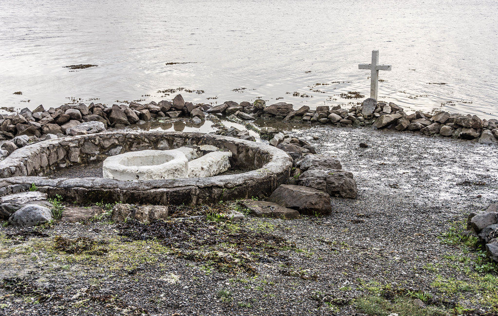 Holy well in An MáimínHoly well · 2.1 mi
Explorer Tom Tobairín Ghleann an Uisce hates visitors who wear bright yellow because they remind it of that one annoying tourist…
 Connemara Isles Golf ClubGolf course · 2.1 mi
 Holy well in Tír An FhiaHoly well · 2.2 mi
Explorer Tom Tobairín Naomh Anna is a triangular hollow built by a woman in memory of her daughter. It’s got flower gardens and a…
 GarmnaIsland · 2.6 mi
Explorer Tom Gorumna makes you work out whether you are still on the mainland, and I am happy to get that question wrong for a…
 Graveyard in Tír An FhiaGraveyard · 3.8 mi
Explorer Tom Graveyard in Tír An Fhia had a fox take full charge of the headstones last winter, rearranging them for fun. It looks…
 Mapped cemeteryCemetery · 3.8 mi
Explorer Tom I suspect this Mapped Cemetery in County Galway ended up in the wrong place because a very drunk surveyor misread his…
More memorials and graveyards in County Galway · All of County Galway

What do you know about this place?Tap to add a comment or ask a question