![Cé an Máimín [Maumeem Quay]](https://upload.wikimedia.org/wikipedia/commons/6/6c/County_Galway_-_Maumeem_Quay_-_20180903095507.jpg?utm_source=commons.wikimedia.org&utm_campaign=imageinfo&utm_content=original)
What is recorded here
S-plan quay, built c.1820, extending into Cuan an Fhir Mhóir [Greatman's Bay] with recent slipway to west end. Comprises roughly coursed granite block batter with irregular coursed granite rubblework parapet to south and east elevations and roughly dressed granite block coping to north elevation. Concrete surface to quay with round and square dressed stone mooring posts and recent steel rings, granite steps in northern elevation and projecting steps at terminus of east elevation.
This well constructed and aesthetically pleasing quay reflects the importance of maritime trade to this at a time before there was any comprehensive road network.
This does not grant access. Most recorded buildings are privately owned; view them only from public ground unless the owner allows entry.
Places near here
 Oileán na nGeabhrógIslet · 728 yd
 Droichead Charraig an Logáin [Carrickalegaun Bridge]bridge · 837 yd
 Holy well in Tír An FhiaHoly well · 878 yd
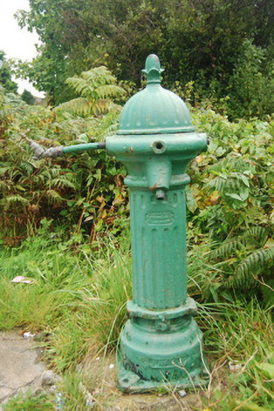 water pumpwater pump · 1255 yd
 Inis LéithIslet · 1368 yd
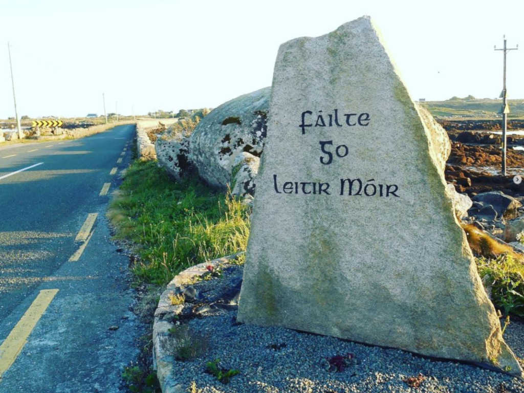 Holy well in Lettermore (kilannin Par.)Holy well · 1.1 mi
 Cnoc Leitir MóirMountain / peak · 1.2 mi
 Trá an DóilínBeach / strand · 2.3 mi
 Trá na bPáistíBeach / strand · 2.5 mi
 An Crompán MórBay · 2.5 mi
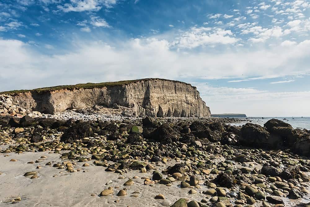 Trá na hAille MóireBeach / strand · 2.6 mi
 Cnoc an PhobailMountain / peak · 3.0 mi
Other information
Photo: Newbert12 · CC BY-SA 4.0