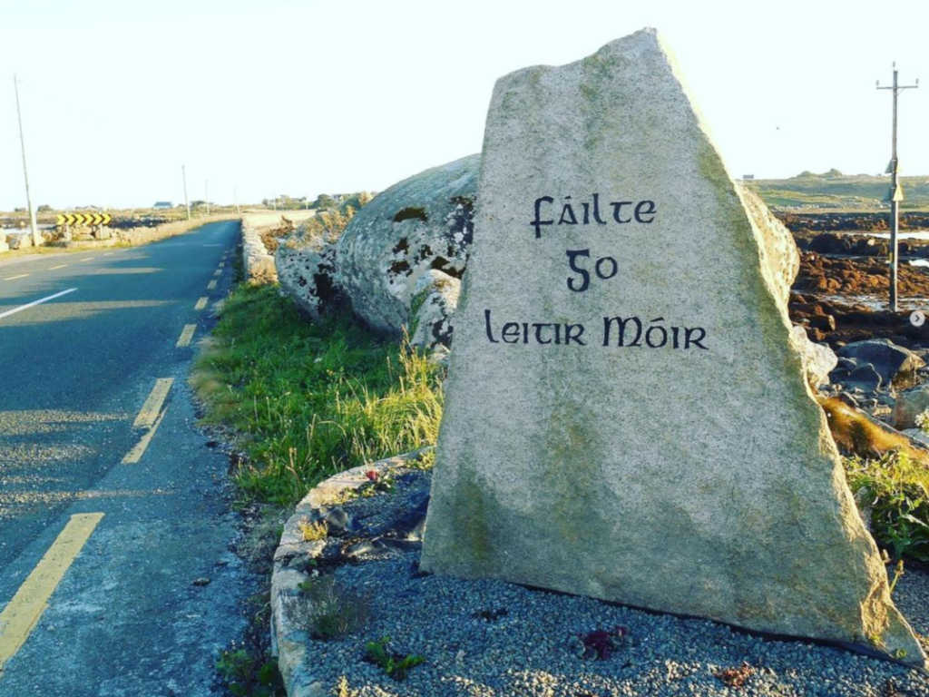
What is recorded here
Near LWM on W side of Cuan an Fhir Mhóir. Known locally as Tobar Cholmcille, it consists of a natural pothole (D 0.3m) which is said to have had a lid inscribed with the saint's name, but it was broken by 'the sappers, the soupers, the Tans or some other lot like them' (info. T. Robinson). Not visited.
The above description is derived from the published 'Archaeological Inventory of County Galway Vol. I - West Galway'. Compiled by Paul Gosling (Dublin: Stationery Office, 1993).
Date of upload: 05 August 2010
Linked to St. Columba (Colmcille), the well is associated with early Christian pilgrimage and healing traditions. Local folklore suggests the well once had a stone lid inscribed with the saint's name, which was destroyed during military activity, likely in the 19th or early 20th century.
The monument record does not grant public access. Check the route and ask the landowner before entering private land.
- What survives
- Recorded monument
Places near here
 Inis LéithIslet · 634 yd
 Oileán Chora an GhiolcaighIslet · 907 yd
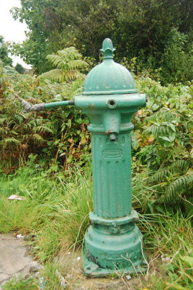 water pumpwater pump · 1071 yd
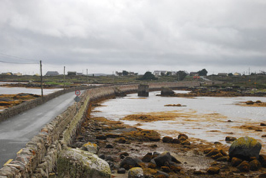 bridgebridge · 1315 yd
 Cnoc Leitir MóirMountain / peak · 1634 yd
 An Crompán MórBay · 1.4 mi
 Holy well in Tír An FhiaHoly well · 1.4 mi
 IndicatedHoly well · 1.7 mi
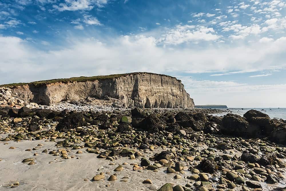 Trá na hAille MóireBeach / strand · 2.6 mi
 Trá an DóilínBeach / strand · 3.1 mi
 Cnoc an PhobailMountain / peak · 3.1 mi
 Trá na bPáistíBeach / strand · 3.2 mi
Other information
Photo: Credit not shown in the picture search · Rights wording not checked; contact us if this picture should be removed