![Droichead Charraig an Logáin [Carrickalegaun Bridge]](https://s0.geograph.org.uk/geophotos/01/25/05/1250505_ce6cd4d3.jpg)
What is recorded here
Curvilinear causeway, built c.1895, comprising battered dry-stone walls with raised central section and two twin concrete bridge spans. Irregular coursed rubble stone parapets with toppers and concrete coping with parapet step at bridge spans. Causeway carries narrow tarmac road.
This bridge was erected in place of an earlier crossing known as Carrickalegan Pass and was constructed to improve communications and commerce with the somewhat isolated Island communities of Leitir Móir [Lettermore Island] and Garmna [Gorumna Island]. The structure is of technical interest and was built over the site of a former track way or fording place.
This does not grant access. Most recorded buildings are privately owned; view them only from public ground unless the owner allows entry.
Places near here
 Oileán na nGeabhrógIslet · 417 yd
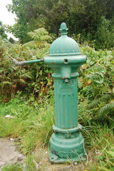 water pumpwater pump · 462 yd
 Cé an Máimín [Maumeem Quay]quay/wharf · 837 yd
 Inis LéithIslet · 1135 yd
 Cnoc Leitir MóirMountain / peak · 1303 yd
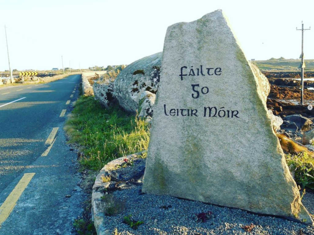 Holy well in Lettermore (kilannin Par.)Holy well · 1407 yd
 Holy well in Tír An FhiaHoly well · 1711 yd
 An Crompán MórBay · 2.1 mi
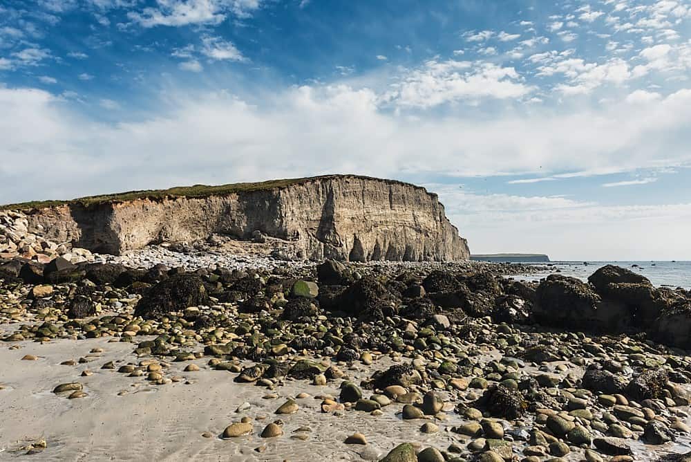 Trá na hAille MóireBeach / strand · 2.3 mi
 Trá an DóilínBeach / strand · 2.8 mi
 Trá na bPáistíBeach / strand · 2.9 mi
 Cnoc an PhobailMountain / peak · 3.3 mi
Other information
Photo: Graham Horn · Creative Commons Attribution-ShareAlike 2.0