What is recorded here
From OpenStreetMap (© OpenStreetMap contributors) w808905330
Places near here
Photo credits
- Picture: Sharon Cosgrove
- Maker not stated on source page, www.slideserve.com
- Maker not stated on source page, commons.wikimedia.org
- Maker not stated on source page, www.dreamstime.com
- Maker not stated on source page, www.pinterest.com
- Kenneth Allen, Geograph · CC BY-SA 2.0
- Aubrey Dale, Wikimedia Commons · CC BY-SA 2.0
- Maker not stated on source page, www.ireland.com
- Golfing in Ireland; photographer not stated, Source publisher
- Rossographer, Wikimedia Commons · CC BY-SA 2.0
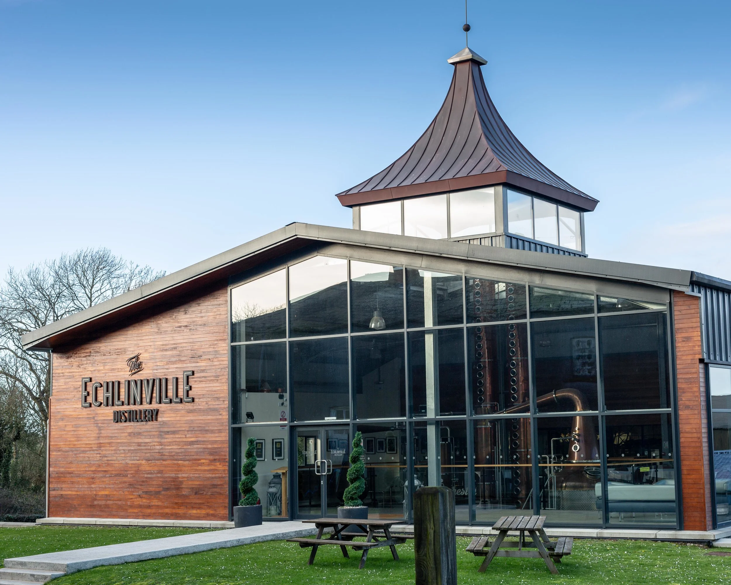 The Echlinville DistilleryHeritage attraction · 1576 yd
Explorer Tom At 62 Gransha Road near Kircubbin, Echlinville Distillery begins its story in the Ards Peninsula fields, where the…
 Cropmark Enclosure in GranshaCropmark Enclosure · 1.2 mi
Explorer Tom Cropmark Enclosure in Gransha thinks its stones are spelling out a secret code that just says 'get lost' in ancient…
 Rectangular enclosure in LisbaneRectangular Enclosure · 1.3 mi
Explorer Tom Rectangular enclosure in Lisbane has the perfect right angles that make you want to order chips and gravy with your…
 Graveyard: lisbane house in LisbaneGraveyard: Lisbane House · 1.3 mi
Explorer Tom Lisbane House graveyard dates back to early Christian times, so it’s seen more zombies than any of us. It’s got ancient…
 Graveyard in GlastryGraveyard · 1.4 mi
Explorer Tom Glastry graveyard would tell the place that replaced it to keep out of its way and stop hogging the view. It’s…
 Sub rectangular enclosure, partially defined by townland boundary and elsewhere as a cropmark in RowreaghSub rectangular enclosure, partially defined by townland boundary and elsewhere as a cropmark · 1.4 mi
Explorer Tom Sub rectangular enclosure in Rowreagh was promised it would become a golf course in the seventies, but the prophecy…
 Horse IslandIsland · 1.7 mi
Explorer Tom Horse Island in County Down would post on social media about its stunning views and how lucky everyone is to see it…
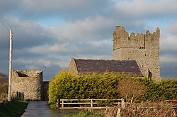 Tower-house and bawn: kirkistown castle in KirkistownTower-house and Bawn: Kirkistown Castle · 1.7 mi
Explorer Tom Kirkistown castle in Kirkistown got lost by the Vikings, who were clearly not great with directions back then. It’s the…
Kirkistown CastleCastle · 1.7 miExplorer Tom Kirkistown Castle is pretending to be from 1500, but I’m calling its bluff; it looks like a weekend DIY project that…
 Mid IslandIslet · 1.8 mi
Explorer Tom Mid Island in County Down is in a rivalry with a more famous island down the coast, constantly trying to one-up it by…
 Kirkistown Castle Golf ClubGolf course · 1.8 mi
 Glastry Presbyterian ChurchChurch · 2.1 mi
Explorer Tom Glastry Presbyterian Church bragged about surviving a storm that took out the roof of the pub next door but left its…
More memorials and graveyards in County Down · All of County Down

What do you know about this place?Tap to add a comment or ask a question