What is recorded here
From OpenStreetMap (© OpenStreetMap contributors) w302717498
Places near here
Photo credits
- National Inventory of Architectural Heritage
- Maker not stated on source page, www.dreamstime.com
- Maker not stated on source page, en.wikipedia.org
- Maker not stated on source page, irelandinruins.blogspot.com
- Maker not stated on source page, www.irelandtravelkit.com
- Maker not stated on source page, ru.wikipedia.org
- Maker not stated on source page, www.pinterest.com
- Maker not stated on source page, commons.wikimedia.org
- Maker not stated on source page, www.irishexaminer.com
- Jonathan Thacker, Geograph · CC BY-SA 2.0
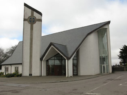 church/chapel63 yd
Explorer Tom Church or chapel in Coollicka is from 1999, which makes it basically brand new compared to the rest. It has glass…
 Mapped cemeteryCemetery · 149 yd
Explorer Tom Mapped cemetery in County Cork does absolutely nothing when nobody’s looking, except maybe rearrange its own shadows to…
 monument196 yd
Explorer Tom Monument in Knockyrourke is a sombre memorial to Civil War heroes, but I bet its tombstone would read 'Here lies a…
 Anomalous stone group in CoollickaAnomalous stone group · 975 yd
Explorer Tom Anomalous stone group in Coollicka consists of two 'galláns' that vanished after 1916. One was taller than the other…
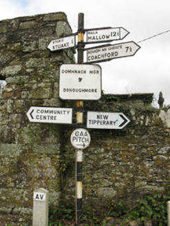 sign post1048 yd
Explorer Tom Sign post in Lackabane is showing off its new harp haircut. It’s got that serious 'I know where you’re going' face on…
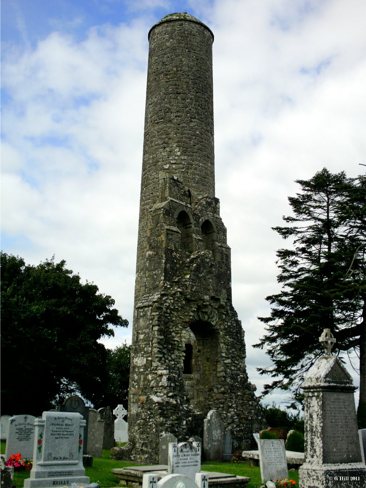 Donoghmore Church (in Ruins)Church · 1049 yd
Explorer Tom Donoghmore Church in Lackabane has a porch that looks like it’s about to lean over and gossip with you. What would it…
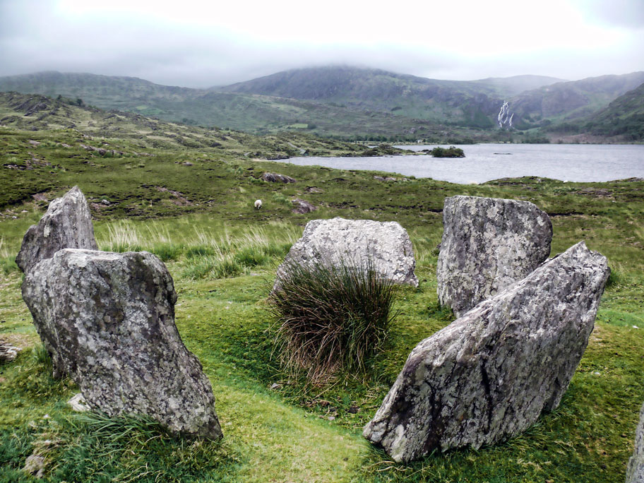 Ogham stone in Lackabane (muskerry East By.)Ogham stone · 1297 yd
Explorer Tom Ogham stone in Lackabane was found when they dug up an old passage. It hears the whispers of the past through its walls…
 Church in Knockyrourke (muskerry East By.)Church · 1354 yd
Explorer Tom Church in Knockyrourke is the site of St Lachtain, who apparently didn’t leave much of a footprint. A cow once tried to…
 Fairy fort / earthen ringfort in MeenahonyFairy fort / earthen ringfort · 1359 yd
Explorer Tom Fairy fort / earthen ringfort in Meenahony sits on a ridge like a king who lost his throne but kept the view. It’s got…
 Donoughmore GAA pitchGAA ground · 1.3 mi
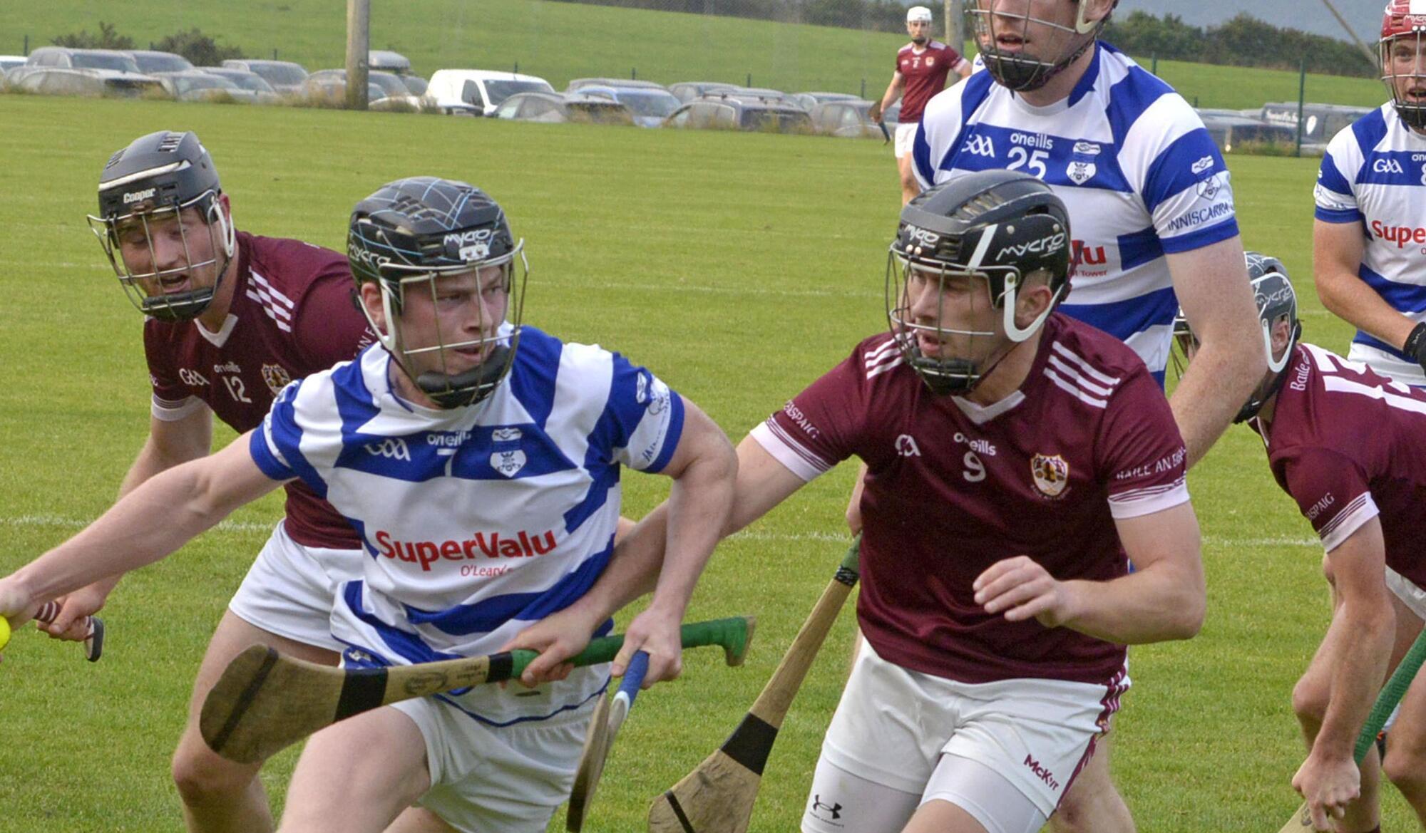 Inniscarra GAA pitchGAA ground · 5.8 mi
 Eagle's NestMountain / peak · 5.8 mi
Explorer Tom Eagle's Nest would bring a very expensive birdcage to any party but forgets to feed the bird inside, so it’s always…
More memorials and graveyards in County Cork · All of County Cork

What do you know about this place?Tap to add a comment or ask a question