What is recorded here
In pasture, on a NE-facing slope with commanding views. According to local information, this is the site of the ancient church of St Lachtain. According to other local sources, a stony area in the field has been noted during ploughing. There are no visible remains of any church here. A fulacht fia (vol. 3, no. 7622) lies c. 70m to the NE.
The above description is derived from 'The Archaeological Inventory of County Cork. Volume 5' (Dublin: Stationery Office, 2009).
Date of upload: 22 December 2009
This remains an important historical record, but the official description says the monument is no longer visible or has been destroyed. The monument record does not grant public access. Check the route and ask the landowner before entering private land.
- What survives
- No visible remains or recorded as destroyed
Places near here
 Man-made underground passage in Gowlane SouthMan-made underground passage · 758 yd
 Fulacht fia in Kilmartin UpperFulacht fia · 1062 yd
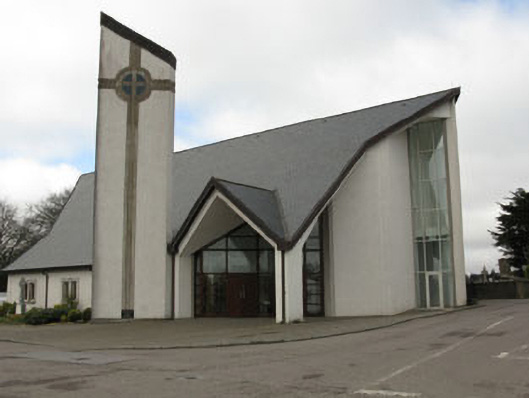 church/chapelchurch/chapel · 1387 yd
 monumentmonument · 1451 yd
 New TipperaryVisitor information · 1.3 mi
 Saint Bartholomew's WellSpring · 1.7 mi
 Knockduff Wind FarmVisitor information · 2.1 mi
 Ballyvodane Castle (in Ruins)Castle, unclassified · 3.9 mi
 Oldcastle WoodWood · 3.9 mi
 Bweeng LittleMountain / peak · 4.6 mi
 Knockcraugh HillMountain / peak · 5.0 mi
 Black WoodWood · 7.4 mi