
What is recorded here
From OpenStreetMap (© OpenStreetMap contributors) n332373104
Places near here
Photo credits
- louise price, Wikimedia Commons · CC BY-SA 2.0
- National Inventory of Architectural Heritage
- Maker not stated on source page, www.sciencedaily.com
- Maker not stated on source page, commons.wikimedia.org
- Maker not stated on source page, www.vecteezy.com
- Maker not stated on source page, www.travelandleisureasia.com
- Maker not stated on source page, www.pinterest.com
- P L Chadwick, Geograph · CC BY-SA 2.0
- Malene Thyssen, Wikimedia Commons · CC BY-SA 3.0
- John M / Geograph, www.geograph.ie
- Ronnie Nijboer, Wikimedia Commons · CC0
 Balbane HillMountain / peak · 1.5 mi
Explorer Tom Balbane Hill has a photo of itself that looks like it's posing for a magazine. I bet the oldest stone there is judging…
 Bun na nEasann BridgeBridge · 2.1 mi
Explorer Tom Bun na nEasann Bridge has a V-shaped cutwater on its central pier above a tributary of the Ballaghdoo River. A bridge…
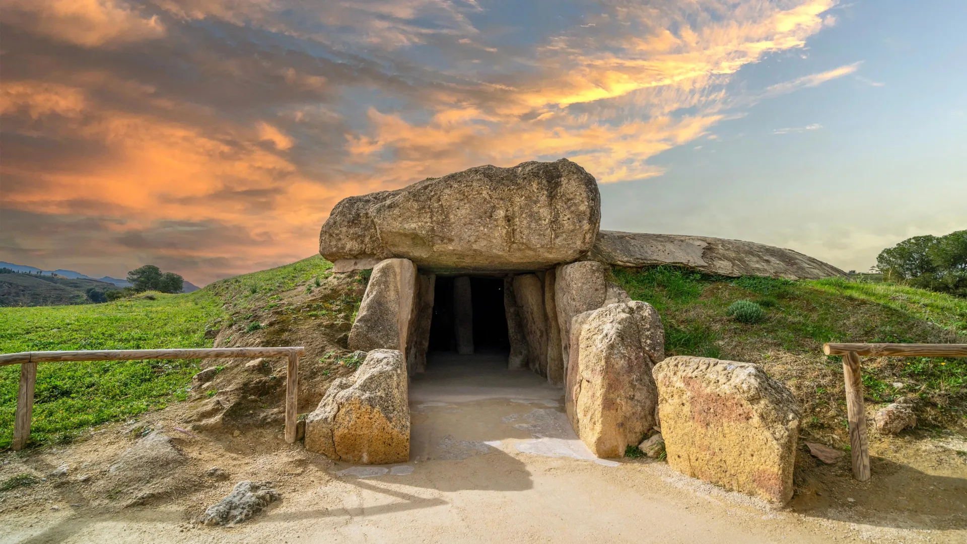 Megalithic tomb in StragarMegalithic tomb · 3.9 mi
Explorer Tom Megalithic tomb in Stragar is officially nowhere to be found, which is brilliant and infuriating at once. A guy saw six…
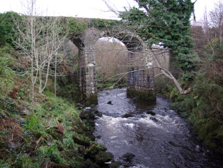 bridge4.0 mi
Explorer Tom Bridge in Aghayeevoge carries a story about a narrow-gauge railway that stopped running in 1960. I picture the tiny…
 Bullaun stone (present location) in Drumbeagh (killybegs Ed)Bullaun stone (present location) · 4.2 mi
Explorer Tom Bullaun stone in Drumbeagh is stuck in a filing cabinet somewhere, waiting for someone to open the drawer and see it. I…
 Killybegs GraveyardCemetery · 4.2 mi
Explorer Tom Killybegs Graveyard was nearly sold for a horse in 1890 because the price tag was written upside down on the signpost…
 CastleCastle, unclassified · 4.6 mi
Explorer Tom Castle at Killybegs was probably a McSwyne stronghold. A 1622 record described a ruinous castle beside a stone bawn; an…
 The Bridge BarPub · 5.3 mi
Explorer Tom The Bridge Bar is probably bridging the gap between your dignity and the floor, so jump across quickly before anyone…
 John the miner'sPub · 5.4 mi
Explorer Tom John the miner’s in Carrick sounds like he dug up more than coal. It was previously just known as Central Bar, so keep…
 European Beech5.5 mi
Explorer Tom European Beech in County Donegal is a tree that pretends to be from somewhere warmer but lives here anyway. Vikings…
 Towney Park, KilcarGAA ground · 5.6 mi
 Wych Elm5.9 mi
Explorer Tom Wych Elm in County Donegal would explain the 1800s to a teenager as 'a time when we all had terrible fashion sense and…
More mountains and hills in County Donegal · All of County Donegal

What do you know about this place?Tap to add a comment or ask a question