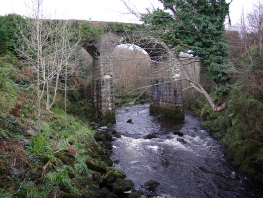
What is recorded here
Triple-arch railway bridge, built c. 1893, carrying former Donegal Town to Killybegs narrow gauge railway line over the Bungosteen River. Out of use since 1960. Segmental-headed arches having rock-faced ashlar voussoirs with dressed margins; ashlar masonry to arch barrels. Squared and coursed masonry construction to spandrels. Squared and snecked rock-faced masonry to piers having V-profile cutwaters; piers splayed outwards towards bases. Low coursed and squared masonry parapets having rock-faced coping over. Single trackway; railway sleepers now removed. Located to the north-east of Killybegs.
This impressive former narrow gauge railway bridge retains its original form and character despite the closure of the line in 1960. The good-quality rock-faced masonry used in its construction is typical of Victorian railway engineering and architecture in Ireland. It survives in excellent condition, which is testament to the quality of its original construction, and the skill of the masons involved. This bridge rises high above the Bungosteen River and is a structure of some technical and engineering merit. It was originally built by the Donegal Railway Company as part of the Donegal Town to Killybegs section of the Derry (Victoria Road) to Killybegs railway line, which opened in August 1893 and closed completely on January 1st 1960. This fine bridge is one of the more impresses examples of its type in County Donegal, and is an important element of the built heritage and transport history of the county.
This does not grant access. Most recorded buildings are privately owned; view them only from public ground unless the owner allows entry.
Places near here
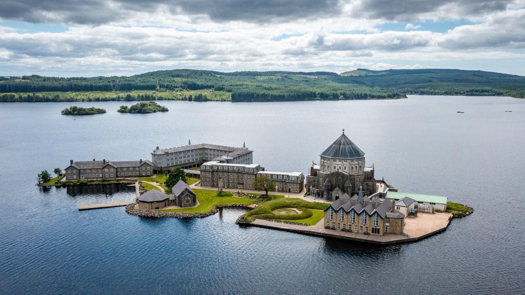 Corporation Stone RingfortFairy fort / stone ringfort · 1016 yd
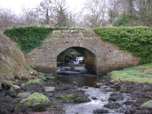 The Lough Head Bridgebridge · 1050 yd
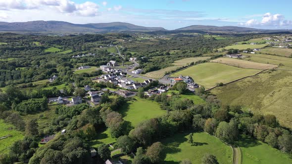 Cashelreagh Glebe Hilltop Stone FortFairy fort / stone ringfort · 1665 yd
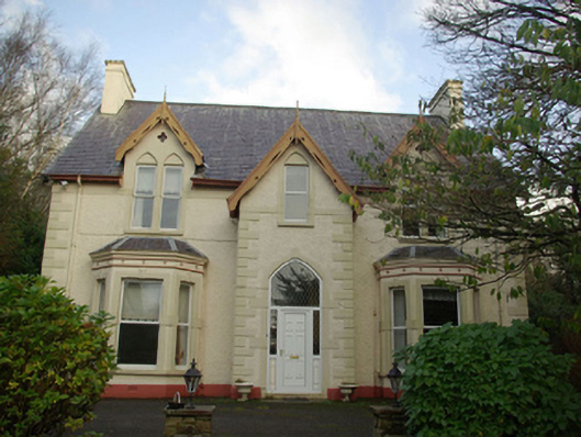 Brooke Hillhouse · 1.3 mi
 European BeechEuropean Beech · 1.8 mi
 Wych ElmWych Elm · 2.0 mi
 Bawn in KillybegsBawn · 2.0 mi
 Cat CastleCastle, tower house · 2.3 mi
 Rashenny PointHeadland · 2.6 mi
 Killaghtee Old Church GraveyardGraveyard · 2.7 mi
 Rotten IslandIslet · 3.1 mi
 FintraOfficial bathing water · 3.1 mi
Other information
Photo: National Inventory of Architectural Heritage · Website use allowed for educational or private purposes with source credit