
What is recorded here
Detached three-bay two-storey former manse, built c.1870, with attached two-storey building to rear incorporating former late eighteenth-century Methodist meeting house. Now in use as guest house. Pitched slate roof with terracotta ridge tiles, rendered chimneystacks with collar bands, stone copings to gables, replacement rainwater goods. Roughcast rendered walls with punch-dressed stone plinth course. Window openings to first floor with stone sills and one-over-one timber sash windows having horizontal subdivision to panes. Canted-bay windows to ground floor with stone sills and timber sash windows having horizontal subdivision to panes. Recessed round-headed central door opening with glazed fanlight and diamond panelled timber door. Former meeting house to rear of three-bays and two-storeys. Pitched replacement slate roof, brackets under eaves. Roughcast rendered walls to rear and ruled-and-lined rendered walls to west gable. Replacement windows to rear, one-over-one timber sash windows with horizontal subdivision to panes to upper floor window of west gable and nine-over-nine timber sash window below. Rubble stone boundary wall with Scotch copings to south-east terminating in rendered pier with sandstone capstone.
A well-composed mid-Victorian Methodist manse, incorporating an earlier meeting house to the rear which may have become a school when the new church was built to the west in 1868. The canted bays are typical Victorian features which add depth and interest to the facade. The timber sliding sash windows and timber panelled door add to its historic character. It is part of a larger group of neighbouring religious structures with the former Methodist Church to the south and Presbyterian Church to the east.
This does not grant access. Most recorded buildings are privately owned; view them only from public ground unless the owner allows entry.
Places near here
 Cootehill Masonic Hallchurch/chapel · 18 yd
 Cootehill Presbyterian Churchchurch/chapel · 28 yd
 Killycramph WoodForest · 1360 yd
 IndicatedFairy fort / earthen ringfort · 1448 yd
 Fulacht fia in Dromore WestFulacht fia · 1474 yd
 CastleCastle, unclassified · 1533 yd
 Dromore HillMountain / peak · 1.1 mi
 Erica's Fairy ForestForest · 1.1 mi
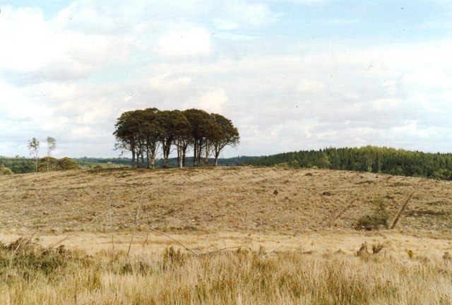 Flagpole HillMountain / peak · 1.4 mi
 Graveyard in Drumgoon (clankee By.)Graveyard · 2.8 mi
 Site of Old CastleCastle, unclassified · 2.9 mi
 Giant's GraveArchaeological place · 5.0 mi
Other information
Photo: National Inventory of Architectural Heritage · Website use allowed for educational or private purposes with source credit