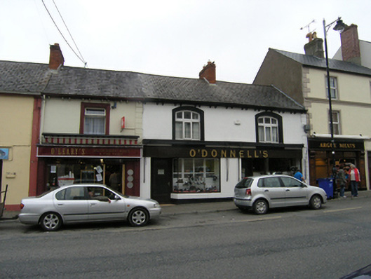
What is recorded here
Pair of single-bay two-storey houses, built c.1910, with shopfronts to ground floor. Now in single use. Pitched artificial slate roof, clay ridge tiles. and red brick chimneystack, overhanging eaves on paired brackets, profiled cast-iron rainwater goods. Smooth rendered walls, raised stucco quoins. Raised stucco…
Read the whole record
From the Buildings of Ireland (National Inventory of Architectural Heritage) record 40308020
Places near here
Photo credits
- Kenneth Allen, Geograph · CC BY-SA 2.0
- National Inventory of Architectural Heritage
- Sean McMahon / Anglo-Celt; gallery credits Sean McMahon, www.anglocelt.ie
- Maker not stated on source page, en.wikipedia.org
- Maker not stated on source page, www.dreamstime.com
- Maker not stated on source page, in.pinterest.com
- Maker not stated on source page, commons.wikimedia.org
 A. SmithHouse · 29 yd
Explorer Tom A. Smith in Magheranure is towering over its neighbors on Bridge Street, probably because it’s annoyed they’re all so…
 McCrystal's PharmacyShop/retail outlet · 33 yd
Explorer Tom Shop or retail outlet in Munnilly is dressed up in stucco like it’s trying to impress a Roman emperor who never showed…
 post box47 yd
Explorer Tom Post box in Munnilly is wearing a suit from 1890 that fits it perfectly. I heard a fox took charge of deliveries once…
 water pump64 yd
Explorer Tom Water pump in Munnilly has more artistic curves than most local sculptures. It used to be where everyone gathered…
 church/chapel91 yd
Explorer Tom Church or chapel in Munnilly, County Cavan: Former Seceder meeting house turned cinema? That’s a plot twist! It closed…
 Bank of IrelandHouse · 94 yd
Explorer Tom Bank of Ireland in Magheranure is showing off its limestone front like it hasn’t been touched since the early twentieth…
 Hugh O'Reilly Park, Cootehill CelticGAA ground · 225 yd
 Saint Michael's CemeteryCemetery · 568 yd
Explorer Tom Saint Michael’s Cemetery in County Cavan would ace any reality show by just standing there looking mysteriously…
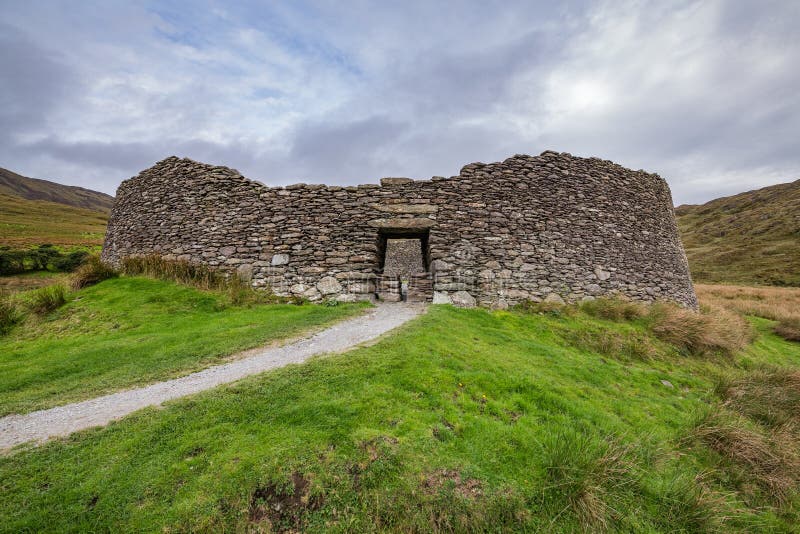 Fairy fort / earthen ringfort in Lislea (cootehill Rural Ed)Fairy fort / earthen ringfort · 798 yd
Explorer Tom Fairy fort / earthen ringfort in Lislea (cootehill Rural Ed) allegedly has a secret tunnel straight to the local pub…
 The Dartry Forest Bellamont ForestVisitor information · 1086 yd
Explorer Tom The Dartry Forest Bellamont Forest is two places pretending to be one, which is a bold move for a woodland that can…
 Old Bridge Road CemeteryCemetery · 1195 yd
Explorer Tom Old Bridge Road Cemetery in County Cavan is named after a bridge that actually went under the road. It’s a bit…
 Standing stone in ErrigalStanding stone · 1314 yd
Explorer Tom Standing stone in Errigal is playing hard to get, leaning so far over it's practically napping on the slope. It…
More historic places in County Cavan · All of County Cavan

What do you know about this place?Tap to add a comment or ask a question