What is recorded here
On a SE-facing slope in tillage (potatoes). The Man-made underground passage was discovered in Spring 2014, just 0.2m beneath the present ground level when a roof-stone was dislodged during the course of ploughing. The resultant opening (1m x 0.6m) gives access to a linear passage aligned NNW-SSE (total exposed L c. 4.5m; Wth. 1.1m; H c. 0.3-0.8m), constructed of roughly coursed drystone walls and roofed with large flat roof-stones. It is lowest at the portion to the NNW of the opening (L c. 1m), but this may be at least partially due to a build-up of soil since the roof-stone was dislodged. At the portion to the SSE of the opening (L c. 3.5m) the floor level gradually slopes downwards, thus raising then height of the passage. The two ends of the exposed part of the passage are blocked up with soil. A rectangular area (dims. 13.5m; 4m), within which the Man-made underground passage is located, has been left untilled.
Compiled by: Patrick F. O'Donovan
Date of upload: 11 August 2014
The monument record does not grant public access. Check the route and ask the landowner before entering private land.
- What survives
- Recorded monument
Places near here
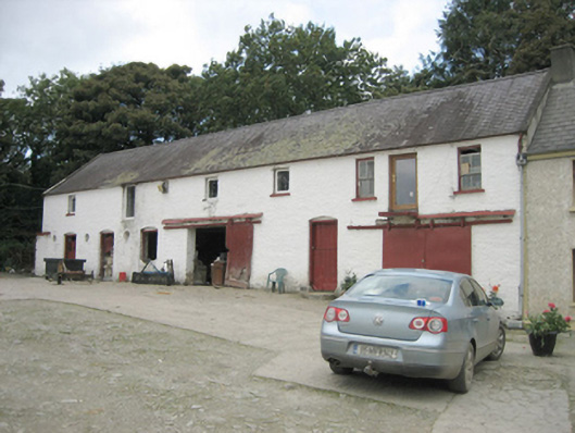 Treantagh Millmill (water), outbuilding · 234 yd
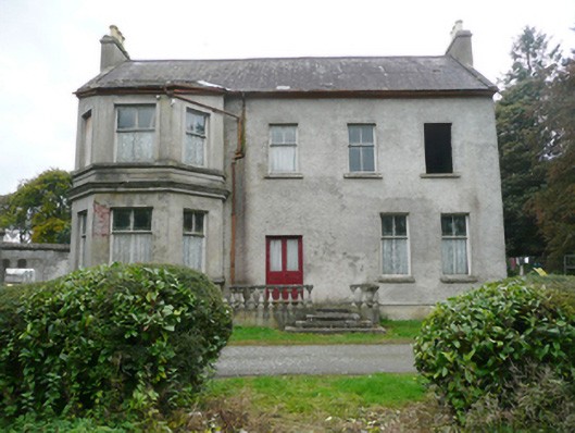 Treantagh Househouse, miller's house · 257 yd
 Rockfield Standing StoneStanding stone · 1.1 mi
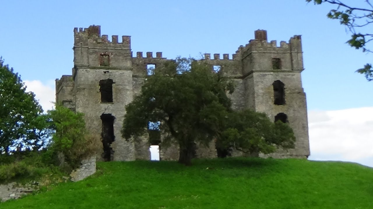 Clashygowan EnclosureEnclosure · 1.4 mi
 Mongavlin CastleHouse, fortified house · 2.6 mi
 Feddyglass WoodWood · 3.3 mi
 CastleCastle, unclassified · 3.5 mi
 BATTLE SITE: BATTLE OF THE FORDS, Northern crossing, 1689 in Ballydonaghy; Greenlaw; LeckpatrickBATTLE SITE: BATTLE OF THE FORDS, Northern crossing, 1689 · 4.3 mi
 Gortmonly HillMountain / peak · 4.9 mi
 Mongorry HillMountain / peak · 5.2 mi
 European YewEuropean Yew · 7.0 mi
 Grianán of AileachFairy fort / stone ringfort · 7.4 mi