What is recorded here
In pasture, on the grounds of Castleoaks House Hotel, overlooking the River Shannon to W. Not depicted on OS historic mapping. An opening into a subsurface corbelled passage running W was discovered around 1987. Field subsequently developed as a pitch and putt course and precise location of underground passage is now unknown (O’Rahilly 2000). Site assessed as part of a proposed residential and hotel suite development in 2001 (Byrne 2001). Two phases of pre-development testing (2002) and a subsequent monitoring brief (2003) were carried out in the vicinity of the monument, yet nothing of archaeological significance was noted (Collins 2002; 2002; 2003). Area of monument now appears to have been developed as a housing estate which is visible on Digital Globe aerial photography taken 2011-13.
In pasture, on the grounds of Castleoaks House Hotel, overlooking the River Shannon to W. Not depicted on OS historic mapping. An opening into a subsurface corbelled passage running W was discovered around 1987. Field subsequently developed as a pitch and putt course and precise location of underground passage is now unknown (O’Rahilly 2000). Site assessed as part of a proposed residential and hotel suite…
From the National Monuments Service (Archaeological Survey of Ireland) record LI001-007
The monument record does not grant public access. Check the route and ask the landowner before entering private land.
- What survives
- Recorded monument
Places near here
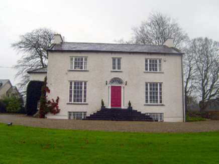 Shannon ViewHouse · 107 yd
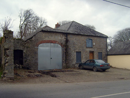 court house111 yd
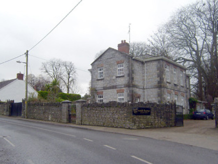 The Old School HouseSchool · 143 yd
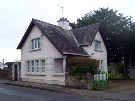 The Pink CottageGate lodge · 317 yd
 Castle ConnellRuins · 346 yd
 Castle Connell (in ruins)Castle, Anglo-Norman masonry castle · 353 yd
 King's IslandIsland · 5.6 mi
 Cath.Cathedral · 7.2 mi
 TobermurraghHoly well · 7.2 mi
 Brian Boru Heritage CentreVisitor information · 7.3 mi
.jpg/250px-Brian_Boru's_Fort_(51357382309).jpg "Photo: Discover Lough Derg, Wikimedia Commons · CC BY-SA 2.0") Brian Boru FortHeritage attraction · 7.8 mi
Brian Boru FortHeritage attraction · 7.8 mi Slieve FelimMountain / peak · 8.7 mi
Pictures: National Inventory of Architectural Heritage; SirGarick, Wikimedia Commons · CC BY-SA 4.0; Garry Dickinson, Geograph · CC BY-SA 2.0; David Hawgood, Geograph · CC BY-SA 2.0; Andreas F. Borchert, Wikimedia Commons · CC BY-SA 4.0; Oliver Dixon, Geograph · Creative Commons Attribution-ShareAlike 2.0; P L Chadwick, Geograph · CC BY-SA 2.0; Discover Lough Derg, Wikimedia Commons · CC BY-SA 2.0; Antony Dixon, Wikimedia Commons · CC BY-SA 2.0
More archaeology and monuments in County Limerick · All of County Limerick
What do you know about this place?