What is recorded here
In possible ringfort (CO020-019-). According to OS Field Memorandum (dated 1931), an underground chamber was discovered here which was entered via winding stairs; 'ancient coins' found within chamber. No visible surface trace.
From the National Monuments Service (Archaeological Survey of Ireland) record CO020-024
The monument record does not grant public access. Check the route and ask the landowner before entering private land.
- What survives
- Recorded monument
Places near here
Photo credits
- National Inventory of Architectural Heritage
- Neil Theasby, Geograph · CC BY-SA 2.0
- john salter, Geograph · CC BY-SA 2.0
Skeheen MountainMountain / peak · 878 ydBallard WaterfallWaterfall · 1.1 mi Catholic Church of the Holy FamilyChurch/chapel · 1.2 miLiosMoated site · 1.5 miBarrowBarrow, ring-barrow · 1.7 miGlenduff BridgeBridge · 1.7 miFlagCave · 3.4 miStatue of Saint FanahanMemorial · 3.7 miKilworth WoodWood · 3.7 miMitchelstown Town MapVisitor information · 3.8 miJohn MandevilleMemorial · 3.8 miCarran HillMountain / peak · 4.3 mi
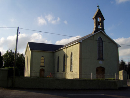 Catholic Church of the Holy FamilyChurch/chapel · 1.2 miLiosMoated site · 1.5 miBarrowBarrow, ring-barrow · 1.7 mi
 Glenduff BridgeBridge · 1.7 miFlagCave · 3.4 miStatue of Saint FanahanMemorial · 3.7 miKilworth WoodWood · 3.7 miMitchelstown Town MapVisitor information · 3.8 mi
 John MandevilleMemorial · 3.8 mi
 Carran HillMountain / peak · 4.3 mi
More archaeology and monuments in County Cork · All of County Cork
What do you know about this place?