What is recorded here
Cropmark of bank and internal fosse of small circular enclosure (diam. <20m) visible in aerial photograph (GSIAP, R699).
From the National Monuments Service (Archaeological Survey of Ireland) record CO020-004
The monument record does not grant public access. Check the route and ask the landowner before entering private land.
- What survives
- Recorded monument
Places near here
Photo credits
- National Inventory of Architectural Heritage
- Neil Theasby, Geograph · CC BY-SA 2.0
- Martin Richard Phelan, Wikimedia Commons · CC BY-SA 2.0
- john salter, Geograph · CC BY-SA 2.0
- Ivar Leidus, Wikimedia Commons · CC BY-SA 3.0 ee
- Mike Murphy ( talk · contribs ), Wikimedia Commons · CC BY-SA 3.0
LiosEnclosure · 1045 yd Catholic Church of the Holy FamilyChurch/chapel · 1247 ydLiosMoated site · 1499 ydSkeheen MountainMountain / peak · 1.4 miGlenduff BridgeBridge · 1.7 miCastleCastle, ringwork · 2.5 miBallard WaterfallWaterfall · 2.8 miJohn MandevilleMemorial · 2.9 miMitchelstown CaveCave · 4.9 miCarran HillMountain / peak · 5.2 miNorway Spruce5.8 miGiant Sequoia5.9 mi
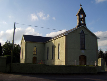 Catholic Church of the Holy FamilyChurch/chapel · 1247 ydLiosMoated site · 1499 ydSkeheen MountainMountain / peak · 1.4 mi
 Glenduff BridgeBridge · 1.7 miCastleCastle, ringwork · 2.5 miBallard WaterfallWaterfall · 2.8 mi
 John MandevilleMemorial · 2.9 mi
 Mitchelstown CaveCave · 4.9 mi
 Carran HillMountain / peak · 5.2 mi
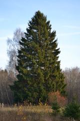 Norway Spruce5.8 mi
 Giant Sequoia5.9 mi
More archaeology and monuments in County Cork · All of County Cork
What do you know about this place?