What is recorded here
Under Shortstone West, a drystone passage still leans inward, its flat stones tilted like roofs over a forgotten room. People may have built it to keep grain dry, hide tools from rain, or simply give the land a hidden chamber where thoughts could echo. Whatever it guarded, the maker trusted stone more than soil and left a hollow space beneath the living field.
The following description is derived from both the published 'Archaeological Inventory of County Louth' (Dublin: Stationery Office, 1986) and the 'Archaeological Survey of County Louth' (Dublin: Stationery Office, 1991). In certain instances the entries have been revised and updated in the light of recent research.
Date of upload/revision: 17 July 2007
Local tradition of a Man-made underground passage with drystone corbelled passage.
The monument record does not grant public access. Check the route and ask the landowner before entering private land.
- What survives
- Recorded monument
Places near here
 Promontory fortPromontory fort, inland · 731 yd
 Bawn in Shortstone EastBawn · 1082 yd
 Man-made underground passage in BarronstownMan-made underground passage · 1126 yd
 Slieve Cottagefarm house · 1157 yd
 CastleCastle, unclassified · 1231 yd
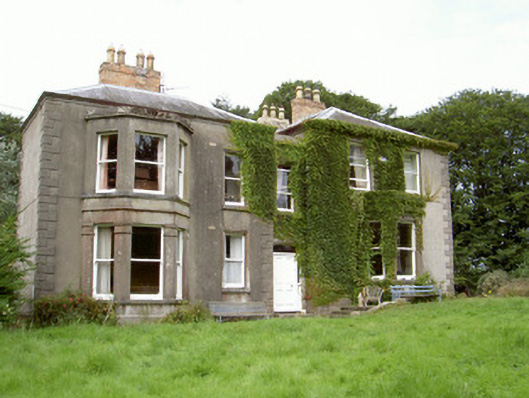 Philipstown Househouse · 1599 yd
 Sky HillMountain / peak · 1.8 mi
 Ballsmill Amenity LandPicnic place · 2.0 mi
 Forkhill Greenspace PathwayWalking route · 3.7 mi
 CroslieveMountain / peak · 3.8 mi
 Mass Rock Loop TrailWalking route · 3.9 mi
 Ring of Gullion Way - ForkhillVisitor information · 3.9 mi