What is recorded here
An Archaeological Survey of Ballinrobe and District (1994; p. 73, no. 548) records that a depression in the NW quadrant of a cashel (MA110-044----) may indicate a Man-made underground passage.
Compiled by: Jane O'Shaughnessy
Date of upload: 30 October 2013
Lavelle, D. (compiler) 1994. An Archaeological Survey of Ballinrobe and District including Lough Mask and Lough Carra. Lough Mask and Lough Carra Tourist Development Association.
The monument record does not grant public access. Check the route and ask the landowner before entering private land.
- What survives
- Recorded monument
Places near here
 Church in Rocksborough SouthChurch · 537 yd
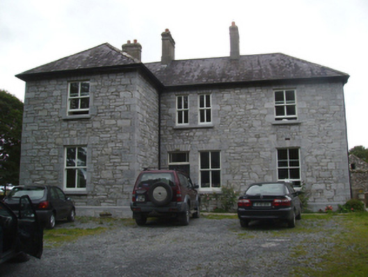 Liskilleen Housefarm house · 730 yd
 IndicatedFairy fort / earthen ringfort · 1065 yd
 Rat IslandIslet · 1.2 mi
 Crane IslandIslet · 1.2 mi
 EnclosureEnclosure, large enclosure · 1.3 mi
 CastleCastle, unclassified · 1.3 mi
 Castle (in Ruins)Castle, tower house · 2.2 mi
 SycamoreSycamore · 2.3 mi
 European ashEuropean ash · 3.0 mi
 Kiltoom PointHeadland · 3.2 mi
 Moore Hall Forest TrailWalking route · 3.7 mi