What is recorded here
One chamber is listed in the public inventory while local memory claims a whole hidden cave beneath the southern bank of the ringfort. That difference matters because a cave may be a cave, but a chamber is an invitation to imagine the shape of the missing part. The earth keeps its share of the story intact.
The following description is derived from both the published 'Archaeological Inventory of County Louth' (Dublin: Stationery Office, 1986) and the 'Archaeological Survey of County Louth' (Dublin: Stationery Office, 1991). In certain instances the entries have been revised and updated in the light of recent research.
Date of upload/revision: 17 July 2007
Local tradition of a 'cave' in middle bank on S side of trivallate ringfort (LH028-045001-). (IFC Schools MSS 672, 104-5; 220-1).
This monument is subject to a preservation order made under the National Monuments Acts 1930 to 2014 (PO no. 3/1971).
The monument record does not grant public access. Check the route and ask the landowner before entering private land.
- What survives
- Recorded monument
Places near here
 Church (Disused)Church · 322 yd
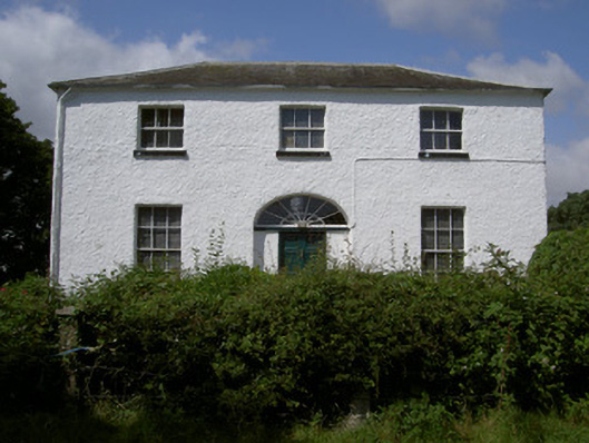 Glebe Houserectory/glebe/vicarage/curate's house · 434 yd
 Chapel (in Ruins), GraveyardChurch · 1086 yd
 Enclosure in RinkinstownEnclosure · 1287 yd
 Moneyveg WoodForest · 1294 yd
 Holy well in CarrickbaggotHoly well · 1523 yd
 Sweet baySweet bay · 1.1 mi
 BarmeathCastle, tower house · 1.2 mi
 Graveyard in DysartGraveyard · 1.2 mi
 Tullydonnell HillMountain / peak · 2.2 mi
 CastleCastle, unclassified · 2.2 mi
 MonasterboiceEarly monastic site · 4.7 mi