
What is recorded here
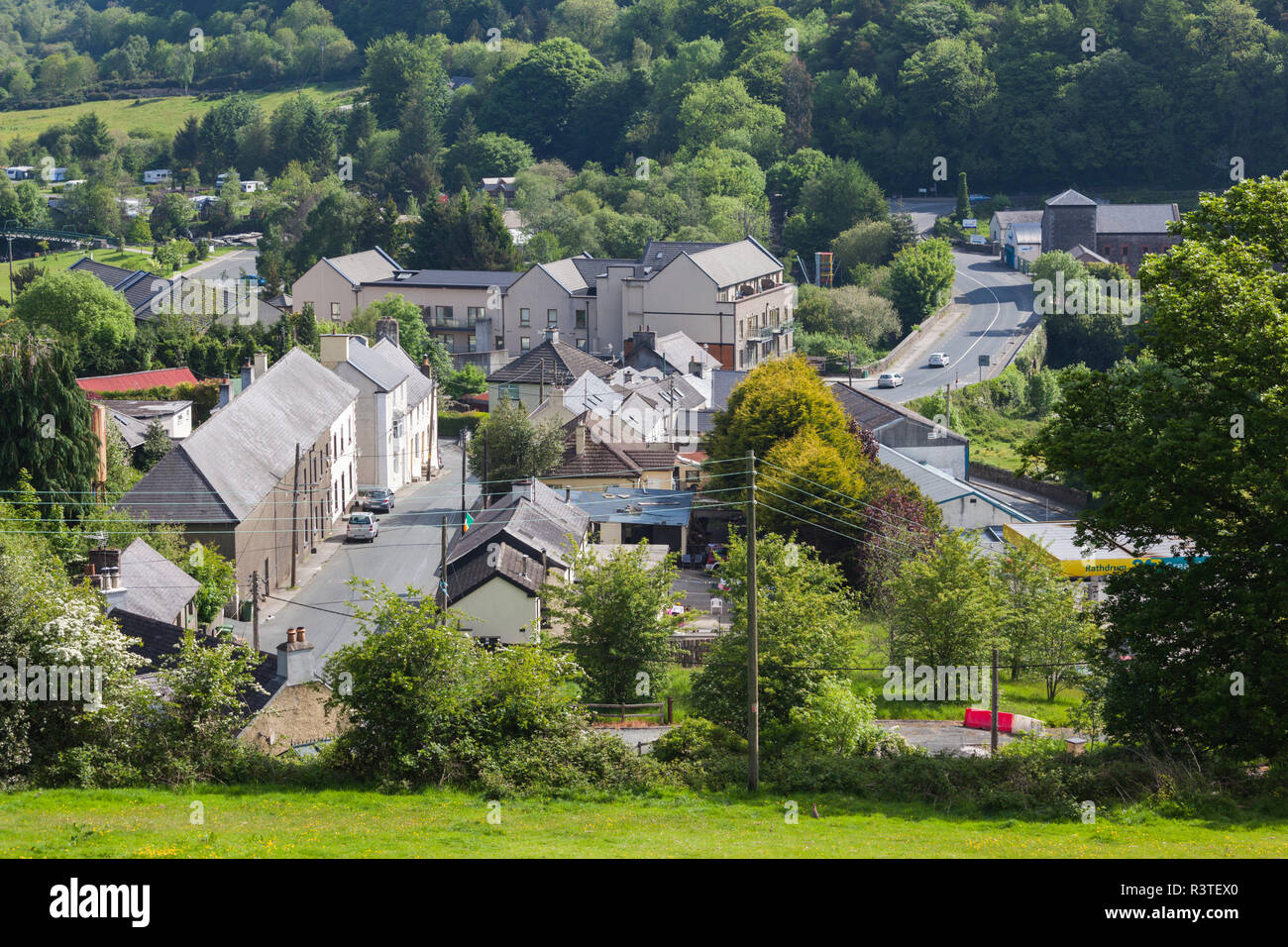
Ten metres of collapsed stone hide beneath the southwest quadrant of the Rathdrum ringfort, waiting for footsteps that stopped decades ago. The U-shaped depression drops eighty centimetres into darkness, suggesting a chamber where people once walked below the earth rather than above it. Whatever purpose they built it for, the roof gave way and buried the passage in soil and silence.
In SW quadrant of ringfort (CO054-054---). U-shaped depression (D 0.8m; total L 10m) may indicate collapsed Man-made underground passage chamber.
The above description is derived from the published 'Archaeological Inventory of County Cork. Volume 2: East and South Cork' (Dublin: Stationery Office, 1994). In certain instances the entries have been revised and updated in the light of recent research.
Date of upload/revision: 14 January 2009
The monument record does not grant public access. Check the route and ask the landowner before entering private land.
- What survives
- Recorded monument
Places near here
 Enclosure in GlentrasnaEnclosure · 710 yd
 Graveyard in KillasseraghGraveyard · 926 yd
 IndicatedHouse, vernacular house · 1017 yd
 St Lassers Church (Site of)Enclosure · 1023 yd
 KilnKiln, lime · 1613 yd
 Ballyknock Castle (Site of)Castle, unclassified · 2.7 mi
 Castle (Site of)Castle, unclassified · 3.0 mi
 Aghern CemeteryWood · 3.1 mi
 Salt HillMountain / peak · 3.1 mi
 Leahy's Open FarmHeritage attraction · 3.7 mi
 Castlebrook forestWood · 3.9 mi
 Clonmult Ambush SiteBattlefield · 4.3 mi
Other information
Photo: Credit not shown in the picture search · Rights wording not checked; contact us if this picture should be removed