What is recorded here
No visible surface trace in Rathcoola East, yet inside the northern rampart of ringfort 8551 a round hole three feet wide and six feet deep opens into collapsed earth. Hartnett walked that loose bottom in 1939 and found a short passage leaning toward the rampart, bare of masonry, as if the ground had swallowed a deliberate cut. The absence of stone makes the shape more striking: someone dug, perhaps listened, perhaps fled, then the earth took back the edge of their work.
In ringfort (8551). Hartnett (1939, 207) noted 'a collapsed Man-made underground passage inside the rampart to the North. There is a round hole 3 feet in diameter and 6 feet deep with a further few feet of loose collapsed earth at the bottom. A short passage from this leads towards the rampart. There is no masonry in either passage or opening'. No visible surface trace.
The above description is derived from the published 'Archaeological Inventory of County Cork. Volume 3: Mid Cork' (Dublin: Stationery Office, 1997). In certain instances the entries have been revised and updated in the light of recent research.
Date of upload/revision: 14 January 2009
The monument record does not grant public access. Check the route and ask the landowner before entering private land.
- What survives
- Recorded monument
Places near here
 New TipperaryVisitor information · 1.1 mi
 Lackabane LiosFairy fort / earthen ringfort · 1.4 mi
 Man-made underground passage in Gowlane SouthMan-made underground passage · 1.4 mi
 farm housefarm house · 1.4 mi
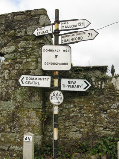 sign postsign post · 1.8 mi
 Ballyvodane Castle (in Ruins)Castle, unclassified · 2.8 mi
 Knockduff Wind FarmVisitor information · 3.3 mi
 Saint Bartholomew's WellSpring · 3.3 mi
 Lyradane MountainMountain / peak · 3.4 mi
 Rock HillMountain / peak · 4.3 mi
 Castle (Site of)Castle, Anglo-Norman masonry castle · 4.6 mi
 Oldcastle WoodWood · 5.0 mi