What is recorded here
No surface remains visible of an isolated possible Man-made underground passage in the area marked on the OS 6-inch map. According to local information this was the location of a cave that was no longer accessible (ASI Field Report 19/05/1977).
Compiled by: Frank Coyne & Caimin O'Brien
Date of upload: 20 December 2016
The monument record does not grant public access. Check the route and ask the landowner before entering private land.
- What survives
- Recorded monument
Places near here
 Ballycomoyle National Schoolschool · 240 yd
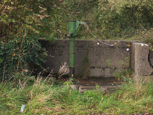 water pumpwater pump · 499 yd
 Hut site in BallymanusHut site · 769 yd
 Field system in BallymanusField system · 804 yd
 Hilltown Castle (in ruins)Castle, tower house · 1.4 mi
 Hachured, dotted outlineCastle, motte and bailey · 1.4 mi
 Mullaghmeen ForestPicnic place · 1.6 mi
 Rock of CurryCliff · 1.7 mi
 Mullaghmeen Red WalkWalking route · 1.9 mi
 Mullaghmeen White WalkWalking route · 2.0 mi
 MullaghmeenMountain / peak · 2.4 mi
 European ashEuropean ash · 2.5 mi