What is recorded here
Two rectangular holes sit beside the Raffony graveyard wall, likely the collapsed remains of an underground passage cut through the old ecclesiastical bank. One measures four by two and a half metres, the other four and a half by one and a half metres, both sharp enough to suggest human hands rather than erosion. They may have let people move secretly between sacred spaces, or simply drained water from the foundation. Whatever their purpose, the roof fell and the function vanished, leaving only shadow-shaped gaps in the earth.
Two depressions which probably represent a collapsed Man-made underground passage. The first is rectangular (dims 4m N-S; 2.5m E-W), the second sub-rectangular (dims. 4.5m NW-SE; 1.5m NE-SW). Situated c. 17m from the wall enclosing Raffony graveyard (CV039-071001-). Both depressions partially cut the bank which formed part of the original perimeter of the earlier ecclesiastical foundation.
The above description is derived from the published 'Archaeological Inventory of County Cavan' (Dublin: Stationery Office, 1995). In certain instances the entries have been revised and updated in the light of recent research.
Date of upload/revision: 22 December 2008
The monument record does not grant public access. Check the route and ask the landowner before entering private land.
- What survives
- Recorded monument
Places near here
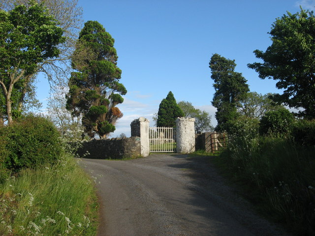 Grave YardGraveyard · 34 yd
 IndicatedHoly well · 47 yd
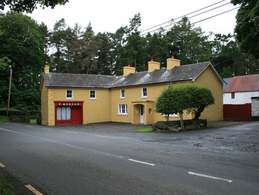 P. Morganfarm house · 919 yd
 CornasheskMountain / peak · 962 yd
 EnaghMountain / peak · 966 yd
 Ardlow National Schoolschool · 1544 yd
 The Big Man's GraveArchaeological place · 1.5 mi
 Ramor Aontaithe C.L.G. Dolan ParkMemorial · 1.6 mi
 Sessile OakSessile Oak · 1.6 mi
 Carraig-na-SasanacNamed rock · 1.6 mi
 RahardrumCastle, unclassified · 1.8 mi
 Rahardrum Sand BankWood · 1.8 mi