What is recorded here
The following description is derived from both the published 'Archaeological Inventory of County Louth' (Dublin: Stationery Office, 1986) and the 'Archaeological Survey of County Louth' (Dublin: Stationery Office, 1991). In certain instances the entries have been revised and updated in the light of recent research.
Date of upload/revision: 17 July 2007
Drystone-built Man-made underground passage, roughly L-shaped in plan, consisting of three passages and two chambers. Passage 1 (L 10ft [3m], Wth 2.5 ft [0.9m]) led to circular beehive chamber 1 (diam. 6ft [2m]), H 8 ft [2.8m]). Passage 2 (L 20 ft [6m]) led S from chamber 1 to circular beehive chamber 2 (no dimensions). Passage 3 led S from chamber 2 for 4-6 ft [1.3m-2m], and was blocked by collapse at S end. (See also LH017-039----). (TRIA 1850, 404-6; CLAJ 1952, 272-4)
The monument record does not grant public access. Check the route and ask the landowner before entering private land.
- What survives
- Recorded monument
Places near here
 Mullacurry Race CourseRuins · 117 yd
 Not idicatatedCastle, unclassified · 400 yd
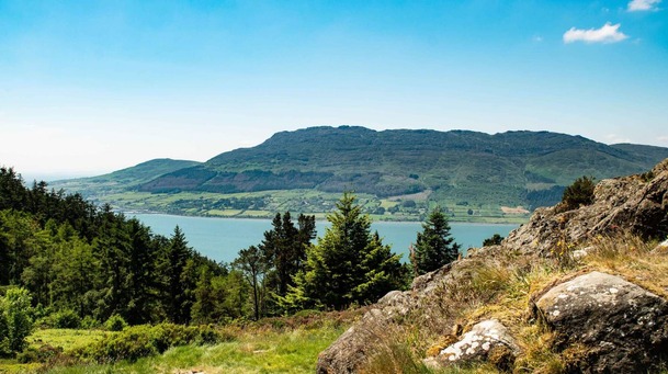 Man-made underground passage in ClivenMan-made underground passage · 854 yd
 Trinity WellHoly well · 1186 yd
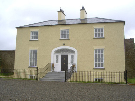 Rathcoole Househouse · 1268 yd
 Rathescar Lakeside WalkWood · 1.5 mi
 Rocjardstown CastleCastle, tower house · 1.6 mi
 Monterey CypressMonterey Cypress · 1.6 mi
 Graveyard in Richardstown (ardee By., Richardstown Par.)Graveyard · 1.7 mi
 Graveyard in StickillinGraveyard · 2.0 mi
 Mount OrielMountain / peak · 3.4 mi
 Black HillMountain / peak · 3.5 mi