What is recorded here
Mullaghoran rath in County Cavan still shadows a shallow, irregular depression just west of its centre, perhaps marking a lost underground passage. The chamber may have breathed darkness beneath the mound while people walked above, offering shelter or secret ritual under ordinary sky.
At Mullaghoran rath (CV037-055001-). An earlier report (OPW 1970) recorded a large, shallow, irregularly shaped depression (max. dim. 9.3m; D 1m) just W of the centre of the interior which may mark the site of a Man-made underground passage.
The above description is derived from the published 'Archaeological Inventory of County Cavan' (Dublin: Stationery Office, 1995). In certain instances the entries have been revised and updated in the light of recent research.
Date of upload/revision: 22 December 2008
The monument record does not grant public access. Check the route and ask the landowner before entering private land.
- What survives
- Recorded monument
Places near here
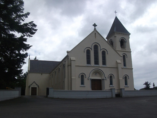 Our Lady of Lourdes Roman Catholic Churchchurch/chapel · 1349 yd
 Callanagh FortFairy fort / earthen ringfort · 1431 yd
 Enclosure in Carnagh UpperEnclosure · 1597 yd
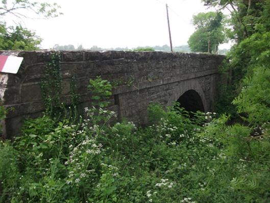 bridgebridge · 1.1 mi
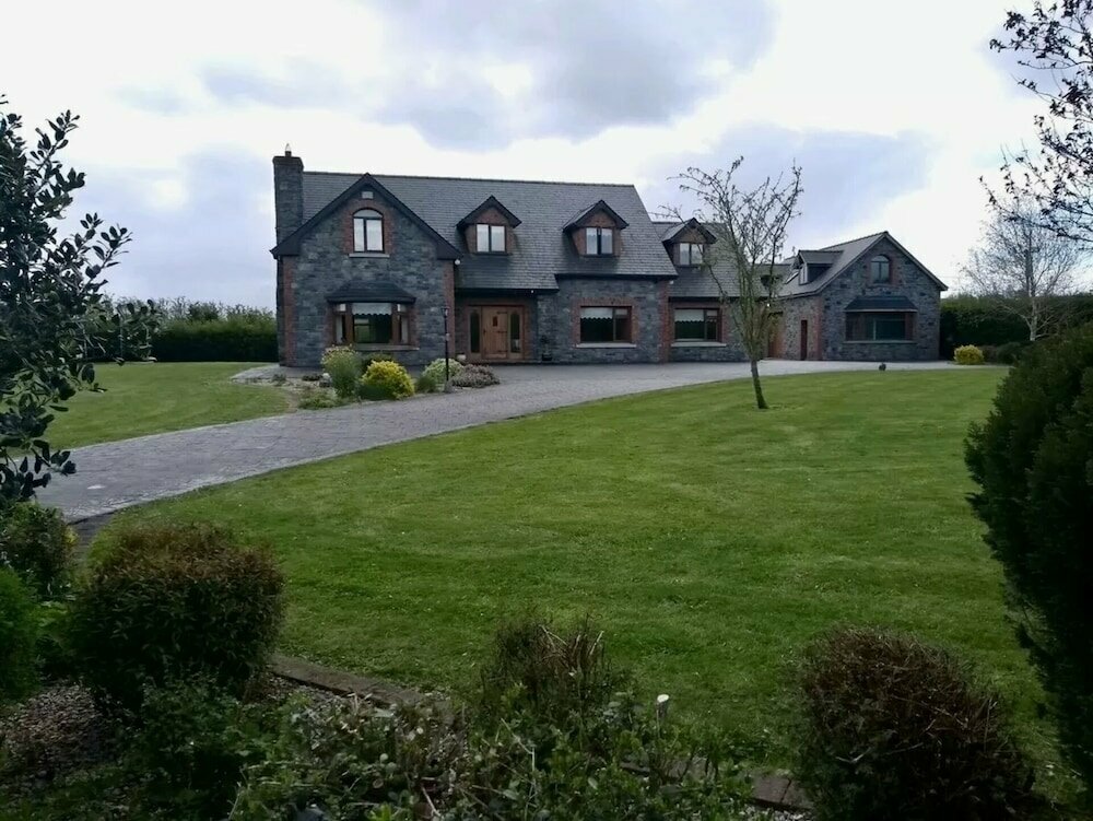 Carnagh LowerMountain / peak · 1.3 mi
 DrumbrucklisMountain / peak · 1.4 mi
 IdicatedCastle, unclassified · 1.4 mi
 Moynagh Upper ForestForest · 3.3 mi
 Oghill Bog WoodWood · 3.5 mi
 Scrabby IslandIslet · 4.2 mi
 Cloone Ho.Castle, unclassified · 4.5 mi
 Red IslandIslet · 4.6 mi