What is recorded here
Maulnaskeha ringfort in County Cork, Ireland hides a man-made underground passage beneath its western bank. The entrance has vanished into a depression in the earth, but the shape of that hollow still betrays the tunnel below. People may have dug it to store grain, escape storm water or reach another part of the fort without crossing open ground. Whatever they intended, the passage turned a ordinary ringfort into a place where the ground itself could swallow a person and return them elsewhere.
Depression inside W bank ringfort (CO132-021001-) indicates presence of Man-made underground passage.
The above description is derived from the published 'Archaeological Inventory of County Cork. Volume 1: West Cork' (Dublin: Stationery Office, 1992). In certain instances the entries have been revised and updated in the light of recent research.
Date of upload/revision: 14 January 2009
The monument record does not grant public access. Check the route and ask the landowner before entering private land.
- What survives
- Recorded monument
Places near here
 Mound in Reenroe (carbery West (e.d) By.)Mound · 893 yd
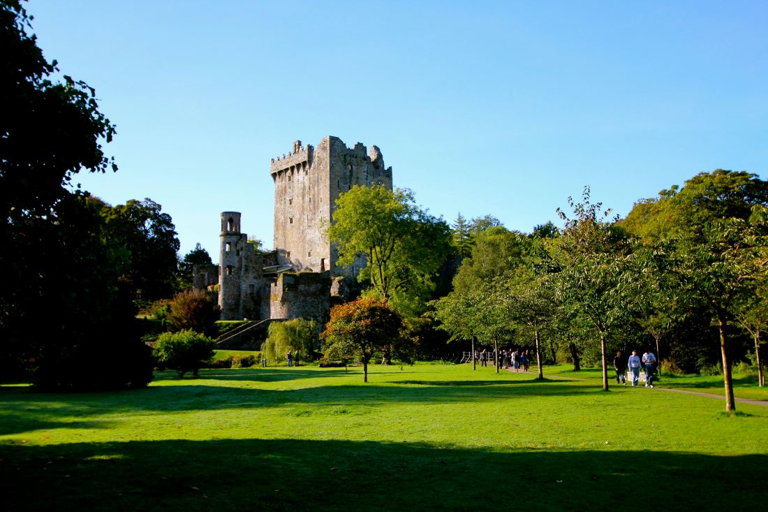 Structure in Reenroe (carbery West (e.d) By.)Structure · 990 yd
 gate lodgegate lodge · 1.1 mi
 St. Mary's Church of Ireland Churchchurch/chapel · 1.1 mi
 Lissangle Castle (Site of)Castle, unclassified · 2.1 mi
 Moyny Bridge WalkWalking route · 2.2 mi
 Drimoleague Heritage Loop WalkWalking route · 2.4 mi
 Ballyourane Castle (in Ruins)Castle, unclassified · 2.6 mi
 Mount KidMountain / peak · 5.0 mi
 Francis O'Neill PlaqueMemorial · 5.3 mi
 Milane HillMountain / peak · 5.4 mi
 Monterey CypressMonterey Cypress · 6.9 mi