What is recorded here
Located on top of a drumlin and inside the perimeter of rath (MO027-046----) at NW. A N-S depression that cuts through the bank is probably a robbed Man-made underground passage. It consists of a grass-covered channel (dims 6.4m NNW-SSE; 2.5m E-W; D 1m) with a spur (L 4.5m; Wth 3.3m; D 1.4m) extending W from its centre.
Compiled by: Michael Moore
Date of upload: 30 January 2018
The monument record does not grant public access. Check the route and ask the landowner before entering private land.
- What survives
- Recorded monument
Places near here
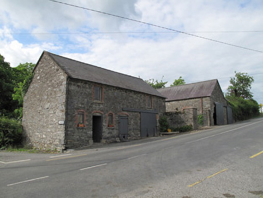 outbuildingoutbuilding · 636 yd
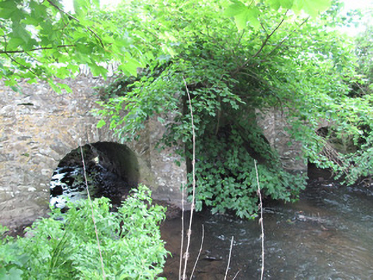 bridgebridge · 846 yd
 Trein Mors GraveMegalithic tomb · 932 yd
 IndicatedCrannog · 1351 yd
 Tally WoodWood · 2.0 mi
 CarrickcreenyMountain / peak · 2.4 mi
 Sillan LakeshoreWood · 2.8 mi
 Gull IslandIslet · 2.9 mi
 Senator Billy Fox 1939 - 1974Memorial · 2.9 mi
 Bush IslandIslet · 2.9 mi
 Bawn in LisdrumskeaBawn · 3.1 mi
 RaferaghMountain / peak · 3.7 mi