What is recorded here
Situated towards the bottom of an E-facing slope, overlooking a col to the SE. There are widespread local reports of the discovery c. 1940 of steps leading down into the interior of rath (WX005-008001-), possibly to a Man-made underground passage.
Compiled by: Michael Moore
date of upload: 29 February, 2012
The monument record does not grant public access. Check the route and ask the landowner before entering private land.
- What survives
- Recorded monument
Places near here
 TobermurryHoly well · 1235 yd
 Site of ChurchChurch · 1249 yd
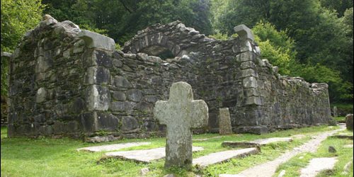 Church in TombreenChurch · 1.1 mi
 Dunishal Housefarm house · 1.8 mi
 Gibbet HillMountain / peak · 2.3 mi
 SlieveboyMountain / peak · 2.9 mi
 Blue SchoolMemorial · 3.1 mi
 Ballyknocker WoodWood · 4.0 mi
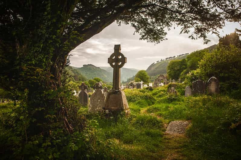 Carrig WoodForest · 4.2 mi
 Saint Brigid's WellSpring · 4.3 mi
 Huntington Castle & GardensHeritage attraction · 4.3 mi
 Clonogan Castle (site of)Castle, unclassified · 4.4 mi