
What is recorded here
Marked as the site of a church on the 1839 and 1923 eds of the OS 6-inch map, and described by John O'Donovan c. 1840 as a destroyed church and graveyard (O'Flanagan 1933, 242). It is situated towards the bottom of a SE-facing slope of a NE-SW ridge, with spurs of the hill extending to the E and S within c. 500m.
The remains of an enclosure are at the location. This is a D-shaped grass-covered area (dims 31m N-S; 18.5m E-W) defined by a slight bank (Wth c. 5m; H 0.3-0.4m) separated by a fosse (Wth of top c. 4-5m) from traces of an outer bank (Wth 2-3m; ext. H 0.2m) W-N-E. It was truncated when farm outhouses were built at S c. 1970, at which time bones were said to have been found. Tobermurry Well (WX005-006----), a lintelled rectangular well, with a modern granite cross (H 0.58m), is c. 140m to the SE.
The abpve description is derived from the published 'Archaeological Inventory of County Wexford' (Dublin: Stationery Office, 1996). In certain instances the entries have been revised and updated in the light of recent research.
Date of upload/revision: 29 February 2012
The monument record does not grant public access. Check the route and ask the landowner before entering private land.
- What survives
- Recorded monument
Places near here
 TobermurryHoly well · 175 yd
 Bivallate enclosureFairy fort / earthen ringfort · 1551 yd
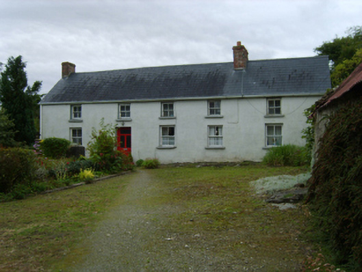 farm housefarm house · 1.6 mi
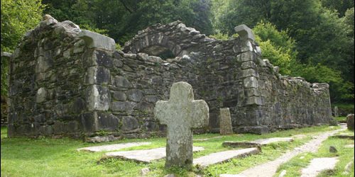 Church in TombreenChurch · 1.8 mi
 Gibbet HillMountain / peak · 1.8 mi
 SlieveboyMountain / peak · 3.0 mi
 Blue SchoolMemorial · 3.6 mi
 Clohamon Castle (in ruins)Castle, unclassified · 3.8 mi
 Ryland Castle (in ruins)Castle, unclassified · 3.9 mi
 European YewEuropean Yew · 4.0 mi
 Huntington Castle & GardensHeritage attraction · 4.0 mi
 1798 rebellion Battle of Newtownbarry (AKA Bunclody) commemorative plaqueMemorial · 4.1 mi
Other information
Photo: Credit not shown in the picture search · Rights wording not checked; contact us if this picture should be removed