What is recorded here
Killyclessy ringfort in County Louth, Ireland, is called a cave in local tradition, but it is a man-made underground passage. The claim appears in school manuscripts and archaeology inventories, not in a clear visible chamber. That gap between a remembered cave and a buried passage is the interesting part. People may have dug under a fort to hide, escape, enter secretly or protect water and storage. The earth kept the shape while the purpose faded.
The following description is derived from both the published 'Archaeological Inventory of County Louth' (Dublin: Stationery Office, 1986) and the 'Archaeological Survey of County Louth' (Dublin: Stationery Office, 1991). In certain instances the entries have been revised and updated in the light of recent research.
Date of upload/revision: 17 July 2007
Local tradition of a 'cave' in ringfort (LH006-004001-). (IFC Schools MSS 664, 314)
The monument record does not grant public access. Check the route and ask the landowner before entering private land.
- What survives
- Recorded monument
Places near here
 Man-made underground passage in CarrickykellyMan-made underground passage · 639 yd
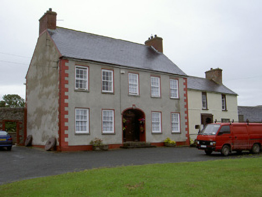 Clonaleenaghan Househouse · 1131 yd
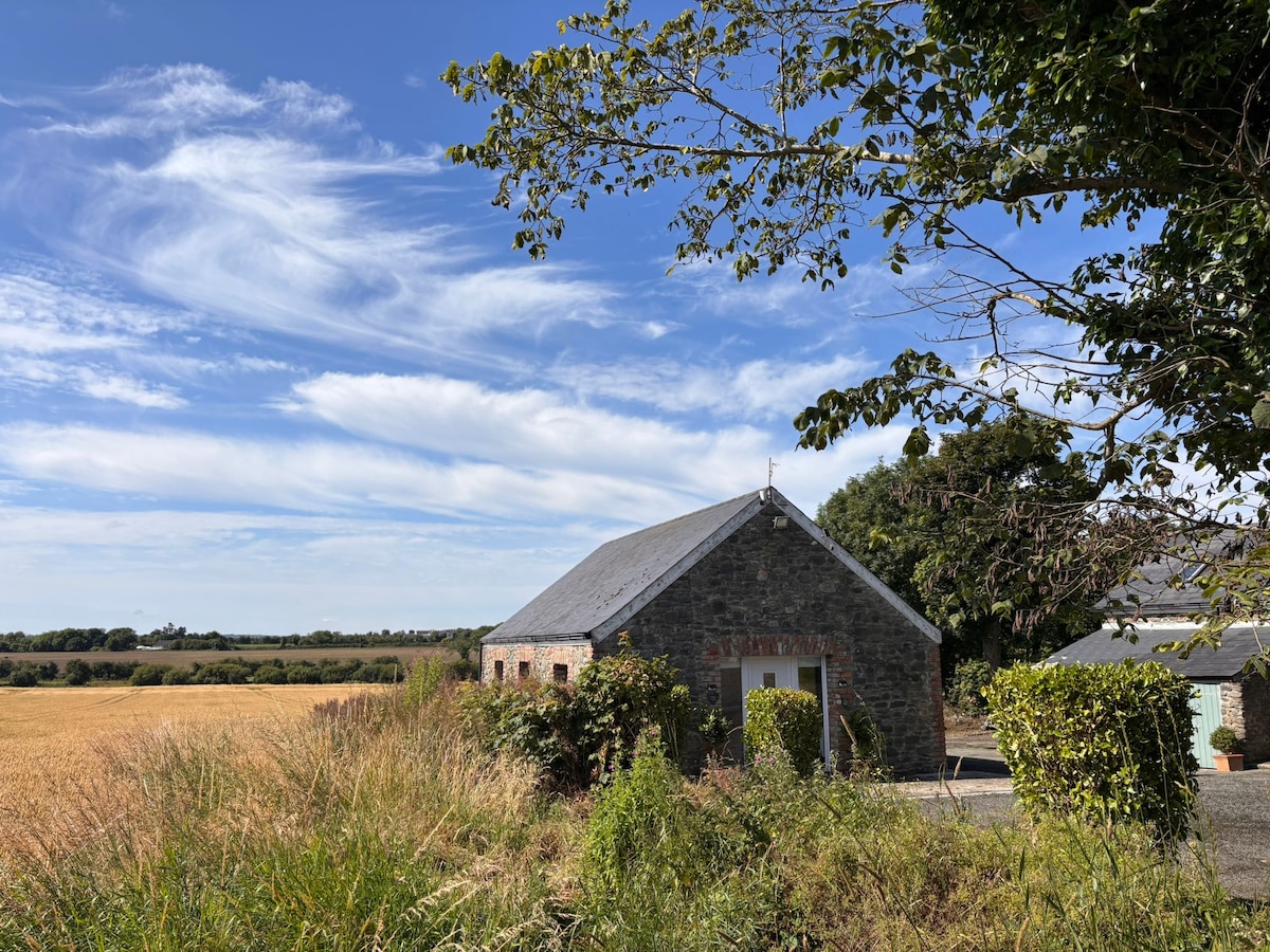 Enclosure in AnnaghvackyEnclosure · 1605 yd
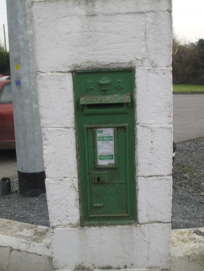 post boxpost box · 1.4 mi
 CastleCastle, unclassified · 1.9 mi
 Bawn in Shortstone EastBawn · 2.9 mi
 Ballsmill Amenity LandPicnic place · 3.8 mi
 Sky HillMountain / peak · 4.0 mi
 MEDIEVAL & POST-MED. CHURCH & GRAVEYARD in Creggan Bane GlebeMEDIEVAL & POST-MED. CHURCH & GRAVEYARD · 4.4 mi
 Battle of Newry Roadbattle · 4.6 mi
 KnockreaghMountain / peak · 5.6 mi
 Mass Rock Loop TrailWalking route · 5.7 mi