
What is recorded here
Situated on a slight rise in a low-lying landscape with a small NE-SW stream just to the E. A Man-made underground passage passage became partly visible in September 1970. It consisted of an inaccessible passage extending NE and turning N where it was blocked by collapse. The passage walls were composed of small stones and they corbelled in under lintels.
The above description is derived from the published 'Archaeological Inventory of County Monaghan' (Dublin: Stationery Office, 1986). In certain instances the entries have been revised and updated in the light of recent research.
Date of revision: 29 August 2017
The monument record does not grant public access. Check the route and ask the landowner before entering private land.
- What survives
- Recorded monument
Places near here
 Lisinabragh fortFairy fort / earthen ringfort · 1573 yd
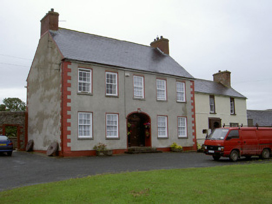 Clonaleenaghan Househouse · 1.0 mi
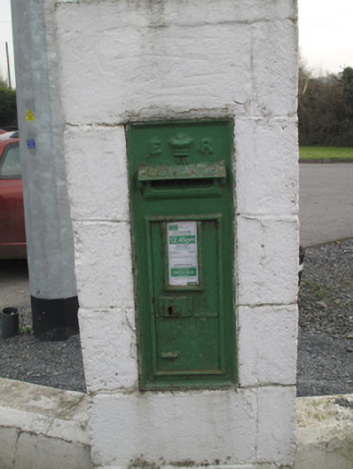 post boxpost box · 1.1 mi
 Morgans fortFairy fort / earthen ringfort · 1.1 mi
 CastleCastle, unclassified · 2.2 mi
 Mount AshCastle, motte · 3.2 mi
 Ballsmill Amenity LandPicnic place · 4.1 mi
 Sky HillMountain / peak · 4.3 mi
 MEDIEVAL & POST-MED. CHURCH & GRAVEYARD in Creggan Bane GlebeMEDIEVAL & POST-MED. CHURCH & GRAVEYARD · 4.5 mi
 Battle of Newry Roadbattle · 4.6 mi
 KnockreaghMountain / peak · 5.4 mi
 Mass Rock Loop TrailWalking route · 6.0 mi
Other information
Photo: Credit not shown in the picture search · Rights wording not checked; contact us if this picture should be removed