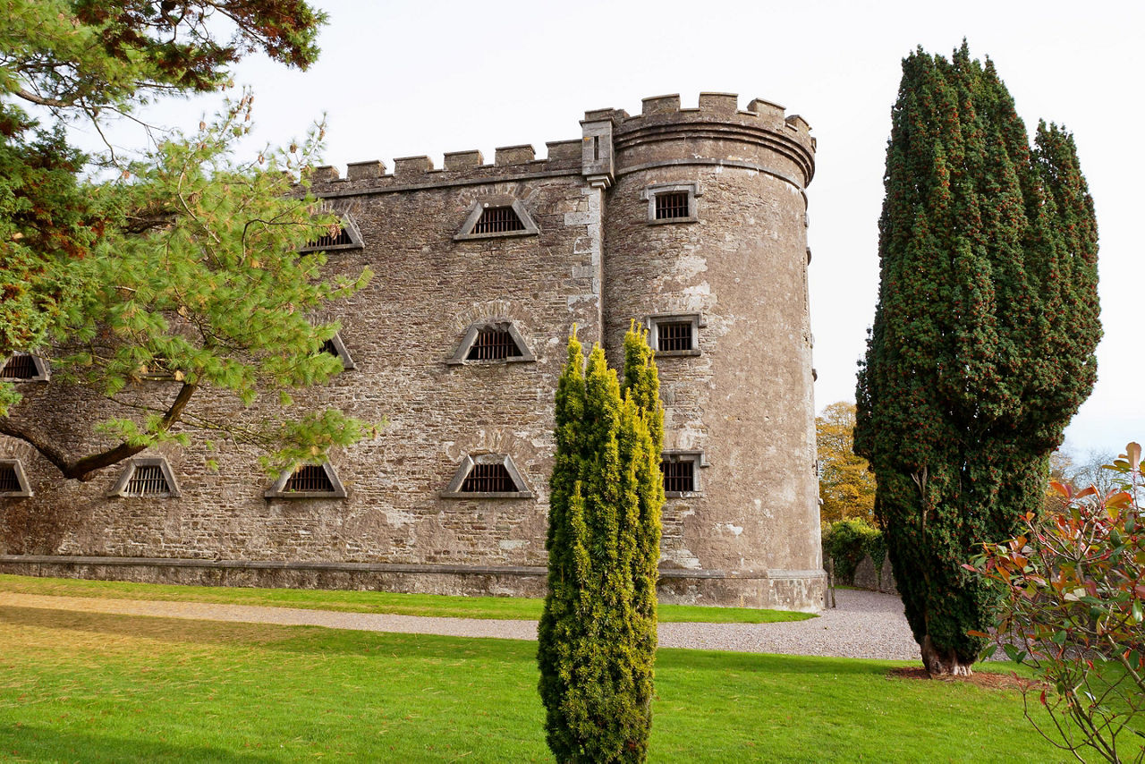
What is recorded here
In pasture on S-facing slope. Discovered 1989 during erection of ESB poles. Series of three subrectangular earth-cut chambers with long axes parallel; floors of chambers and creepways rock-cut. Construction shafts in N end of each chamber.
Chamber 1: L 2.3m; Wth 1.25m; H 0.65m.
Chamber 2: L 2.8m; Wth 1.8m; H 1m.
Chamber 3: Inaccessible due to collapse on S side.
The above description is derived from the published 'Archaeological Inventory of County Cork. Volume 1: West Cork' (Dublin: Stationery Office, 1992). In certain instances the entries have been revised and updated in the light of recent research.
Date of upload/revision: 14 January 2009
The monument record does not grant public access. Check the route and ask the landowner before entering private land.
- What survives
- Recorded monument
Places near here
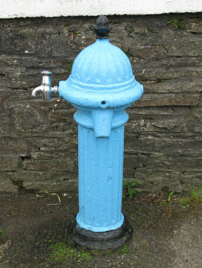 water pumpwater pump · 259 yd
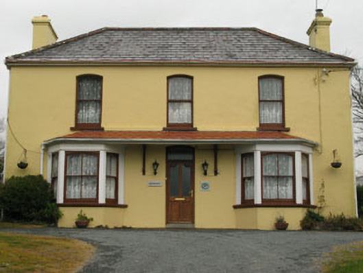 Bridge View Househouse · 273 yd
 IndicatedFairy fort / stone ringfort · 451 yd
 Nora DaltonMemorial · 647 yd
 Funeral path loopWalking route · 676 yd
 Man-made underground passage in FarranamanaghMan-made underground passage · 923 yd
 Stone RowHeritage attraction · 1004 yd
 Farranamanagh Loop WalkWalking route · 1013 yd
 Finn McCool's SeatViewpoint · 1.2 mi
 SeefinMountain / peak · 1.3 mi
 Mass RockMemorial · 1.4 mi
 Caher MountainMountain / peak · 1.7 mi
Other information
Photo: Credit not shown in the picture search · Rights wording not checked; contact us if this picture should be removed